Area Overview for L25 0PE
Photos of L25 0PE
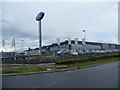
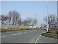
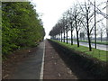
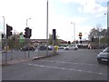
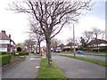
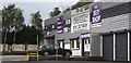
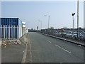
11 photos from this area
Area Information
Key information about the L25 0PE including its size, population, and administrative classification.
- Area Type
- Postcode
- Area Size
- 1.1 hectares
- Population
- 2521
- Population Density
- 2344 people/km²
House Prices in L25 0PE
21
Properties
£185,628
Average Sold Price
£57,000
Lowest Price
£370,000
Highest Price
Showing 21 properties
| Address | Type | Beds | Baths | Last Sale Price | Last Sale Date | |
|---|---|---|---|---|---|---|
| 28 Hillfoot Avenue, Liverpool, L25 0PE | Semi-detached | 3 | 1 | £235,000 | Dec 2024 | |
| 4 Hillfoot Avenue, Liverpool, L25 0PE | Semi-detached | 4 | 2 | £370,000 | Dec 2024 | |
| 18 Hillfoot Avenue, Liverpool, L25 0PE | Semi-detached | 3 | 1 | £261,000 | Aug 2024 | |
| 36 Hillfoot Avenue, Liverpool, L25 0PE | Semi-detached | 5 | 3 | £318,000 | Jan 2023 | |
| 26 Hillfoot Avenue, Liverpool, L25 0PE | house | - | - | £275,000 | Oct 2021 | |
| 30 Hillfoot Avenue, Liverpool, L25 0PE | house | - | - | £160,000 | Sep 2016 | |
| 4A Hillfoot Avenue, Liverpool, L25 0PE | house | - | - | £165,000 | Jun 2015 | |
| 10 Hillfoot Avenue, Liverpool, L25 0PE | house | - | - | £180,000 | Jan 2015 | |
| 34 Hillfoot Avenue, Liverpool, L25 0PE | Semi-detached | 3 | - | £173,000 | Nov 2012 | |
| 32 Hillfoot Avenue, Liverpool, L25 0PE | house | - | - | £206,000 | Jun 2010 |
Page 1 of 3
Energy Efficiency in L25 0PE
Amenities
Schools
| Rank | School | Type | Entry gender | Ages |
|---|
Explore more schools in this area
Go to Schools tabDemographics
Household Size
Family (3-5 people)
most common
Accommodation Type
Houses
most common
Tenure
66
majority
Ethnic Group
White
most common
Religion
N/A
most common
Household Composition
N/A
most common
Age
47
median
Adults (30-64 years)
most common
Household Deprivation
N/A
with no deprivation
NS-SEC
32
in Lower managerial occupations
Explore more demographic insights in this area
Go to Demographics tabPlanning
Planning Constraints
- Flood RiskPremium
- Ramsar Wetland SitesPremium
- Area of Outstanding Natural BeautyPremium
- Protected Nature ReservePremium
- Protected WoodlandPremium