Area Overview for L22 0NJ
Photos of L22 0NJ
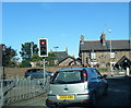
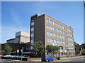
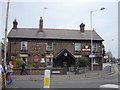
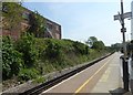
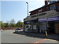
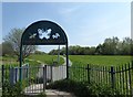
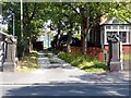
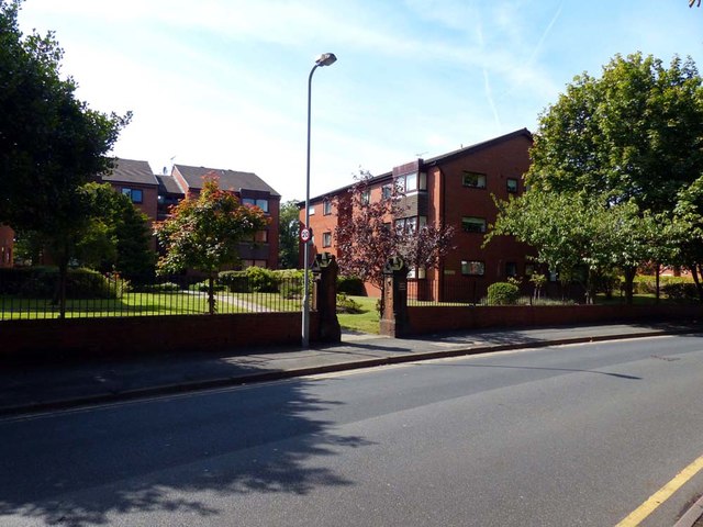
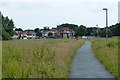
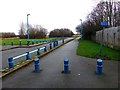
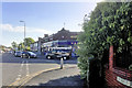
73 photos from this area
Area Information
Key information about the L22 0NJ including its size, population, and administrative classification.
- Area Type
- Postcode
- Area Size
- 6294 m²
- Population
- 1581
- Population Density
- 6362 people/km²
House Prices in L22 0NJ
33
Properties
£342,620
Average Sold Price
£59,500
Lowest Price
£4,106,500
Highest Price
Showing 33 properties
| Address | Type | Beds | Baths | Last Sale Price | Last Sale Date | |
|---|---|---|---|---|---|---|
| 14 Neville Road, Waterloo, L22 0NJ | Terraced | 3 | 1 | £221,500 | Sep 2025 | |
| 13 Neville Road, Waterloo, L22 0NJ | Terraced | 5 | 2 | £280,000 | May 2023 | |
| 29 Neville Road, Waterloo, L22 0NJ | house | 1 | 1 | £4,106,500 | Apr 2023 | |
| 22 Neville Road, Waterloo, L22 0NJ | Terraced | 3 | 1 | £241,000 | Jan 2023 | |
| 20 Neville Road, Waterloo, L22 0NJ | Terraced | 3 | 1 | £216,000 | Feb 2022 | |
| 9 Neville Road, Waterloo, L22 0NJ | Terraced | 5 | 1 | £285,000 | Jul 2021 | |
| 4 Neville Road, Waterloo, L22 0NJ | Semi-detached | 1 | 1 | £269,000 | Oct 2020 | |
| 7 Neville Road, Waterloo, L22 0NJ | Terraced | 1 | 1 | £189,950 | Jan 2020 | |
| 8 Neville Road, Waterloo, L22 0NJ | house | - | - | £232,500 | Jun 2018 | |
| 18 Neville Road, Waterloo, L22 0NJ | Terraced | 3 | 1 | £152,000 | Feb 2018 |
Page 1 of 4
Energy Efficiency in L22 0NJ
Amenities
Schools
| Rank | School | Type | Entry gender | Ages |
|---|
Explore more schools in this area
Go to Schools tabDemographics
Household Size
One person
most common
Accommodation Type
Houses
most common
Tenure
51
majority
Ethnic Group
White
most common
Religion
N/A
most common
Household Composition
N/A
most common
Age
47
median
Adults (30-64 years)
most common
Household Deprivation
N/A
with no deprivation
NS-SEC
33
in Lower managerial occupations
Explore more demographic insights in this area
Go to Demographics tabPlanning
Planning Constraints
- Flood RiskPremium
- Ramsar Wetland SitesPremium
- Area of Outstanding Natural BeautyPremium
- Protected Nature ReservePremium
- Protected WoodlandPremium