Area Overview for L22 0NL
Photos of L22 0NL
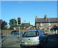
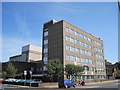
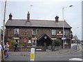
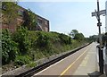
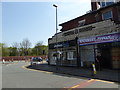
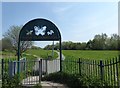
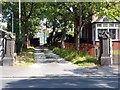
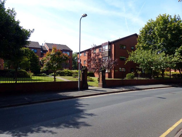
73 photos from this area
Area Information
Key information about the L22 0NL including its size, population, and administrative classification.
- Area Type
- Postcode
- Area Size
- 4678 m²
- Population
- 1581
- Population Density
- 6362 people/km²
House Prices in L22 0NL
37
Properties
£148,144
Average Sold Price
£32,450
Lowest Price
£242,000
Highest Price
Showing 37 properties
| Address | Type | Beds | Baths | Last Sale Price | Last Sale Date | |
|---|---|---|---|---|---|---|
| 18 Curzon Road, Waterloo, L22 0NL | Terraced | 3 | 1 | £187,000 | Dec 2025 | |
| 32 Curzon Road, Waterloo, L22 0NL | Terraced | 4 | 1 | £242,000 | Mar 2024 | |
| 26 Curzon Road, Waterloo, L22 0NL | Terraced | 3 | 1 | £240,210 | Oct 2023 | |
| 17 Curzon Road, Waterloo, L22 0NL | house | - | - | £236,000 | Jan 2022 | |
| 29 Curzon Road, Waterloo, L22 0NL | house | - | - | £197,500 | Nov 2021 | |
| 28 Curzon Road, Waterloo, L22 0NL | house | 3 | 1 | £164,500 | Mar 2021 | |
| 14 Curzon Road, Waterloo, L22 0NL | house | - | - | £185,000 | Nov 2020 | |
| 3 Curzon Road, Waterloo, L22 0NL | Terraced | 3 | 1 | £175,000 | Nov 2020 | |
| 20 Curzon Road, Waterloo, L22 0NL | Terraced | 3 | 1 | £115,000 | Aug 2020 | |
| 13 Curzon Road, Waterloo, L22 0NL | Terraced | 3 | - | £141,000 | Dec 2017 |
Page 1 of 4
Energy Efficiency in L22 0NL
Amenities
Schools
| Rank | School | Type | Entry gender | Ages |
|---|
Explore more schools in this area
Go to Schools tabDemographics
Household Size
One person
most common
Accommodation Type
Houses
most common
Tenure
51
majority
Ethnic Group
White
most common
Religion
N/A
most common
Household Composition
N/A
most common
Age
47
median
Adults (30-64 years)
most common
Household Deprivation
N/A
with no deprivation
NS-SEC
33
in Lower managerial occupations
Explore more demographic insights in this area
Go to Demographics tabPlanning
Planning Constraints
- Flood RiskPremium
- Ramsar Wetland SitesPremium
- Area of Outstanding Natural BeautyPremium
- Protected Nature ReservePremium
- Protected WoodlandPremium