Area Overview for L22 0NU
Photos of L22 0NU
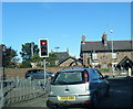
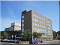
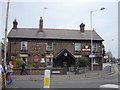
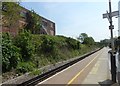
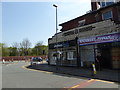
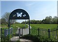
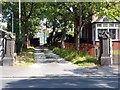
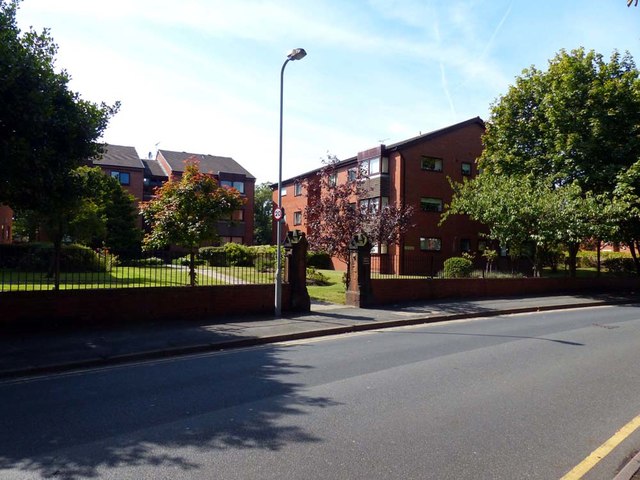
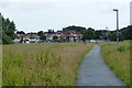
73 photos from this area
Area Information
Key information about the L22 0NU including its size, population, and administrative classification.
- Area Type
- Postcode
- Area Size
- 1.4 hectares
- Population
- 1581
- Population Density
- 6362 people/km²
House Prices in L22 0NU
49
Properties
£381,250
Average Sold Price
£37,800
Lowest Price
£4,106,500
Highest Price
Showing 49 properties
| Address | Type | Beds | Baths | Last Sale Price | Last Sale Date | |
|---|---|---|---|---|---|---|
| 13 Handfield Road, Waterloo, L22 0NU | Terraced | 3 | 1 | £230,000 | Jun 2024 | |
| 65 Handfield Road, Waterloo, L22 0NU | Terraced | 5 | 2 | £370,000 | Mar 2024 | |
| 63 Handfield Road, Waterloo, L22 0NU | house | 1 | 1 | £4,106,500 | Apr 2023 | |
| 9 Handfield Road, Waterloo, L22 0NU | house | 3 | - | £227,500 | Oct 2022 | |
| 61 Handfield Road, Waterloo, L22 0NU | house | - | - | £345,000 | May 2022 | |
| 55 Handfield Road, Waterloo, L22 0NU | Terraced | 5 | - | £280,000 | Nov 2019 | |
| 41 Handfield Road, Waterloo, L22 0NU | Terraced | 4 | - | £182,000 | Dec 2017 | |
| 5 Handfield Road, Waterloo, L22 0NU | Terraced | 3 | 1 | £125,000 | Nov 2017 | |
| 7 Handfield Road, Waterloo, L22 0NU | house | - | - | £146,250 | Oct 2017 | |
| 11 Handfield Road, Waterloo, L22 0NU | house | - | - | £147,000 | Nov 2015 |
Page 1 of 5
Energy Efficiency in L22 0NU
Amenities
Schools
| Rank | School | Type | Entry gender | Ages |
|---|
Explore more schools in this area
Go to Schools tabDemographics
Household Size
One person
most common
Accommodation Type
Houses
most common
Tenure
51
majority
Ethnic Group
White
most common
Religion
N/A
most common
Household Composition
N/A
most common
Age
47
median
Adults (30-64 years)
most common
Household Deprivation
N/A
with no deprivation
NS-SEC
33
in Lower managerial occupations
Explore more demographic insights in this area
Go to Demographics tabPlanning
Planning Constraints
- Flood RiskPremium
- Ramsar Wetland SitesPremium
- Area of Outstanding Natural BeautyPremium
- Protected Nature ReservePremium
- Protected WoodlandPremium