Area Overview for L18 2DR
Photos of L18 2DR

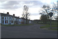
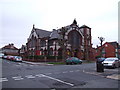
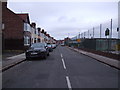
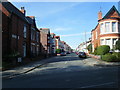


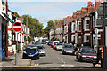
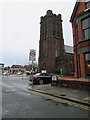
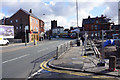
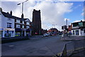
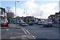
68 photos from this area
Area Information
Key information about the L18 2DR including its size, population, and administrative classification.
- Area Type
- Postcode
- Area Size
- 1.0 hectares
- Population
- 1679
- Population Density
- 5675 people/km²
House Prices in L18 2DR
26
Properties
£283,208
Average Sold Price
£65,000
Lowest Price
£460,000
Highest Price
Showing 26 properties
| Address | Type | Beds | Baths | Last Sale Price | Last Sale Date | |
|---|---|---|---|---|---|---|
| 22 Wembley Road, Liverpool, L18 2DR | Semi-detached | 3 | 2 | £415,000 | Mar 2023 | |
| 38 Wembley Road, Liverpool, L18 2DR | Semi-detached | 3 | 2 | £460,000 | Aug 2022 | |
| 10 Wembley Road, Liverpool, L18 2DR | Semi-detached | 4 | 2 | £450,000 | May 2022 | |
| 16 Wembley Road, Liverpool, L18 2DR | house | - | - | £325,150 | Mar 2021 | |
| 26 Wembley Road, Liverpool, L18 2DR | Semi-detached | 3 | 1 | £322,500 | Nov 2020 | |
| 44 Wembley Road, Liverpool, L18 2DR | Semi-detached | 3 | 1 | £315,000 | Jun 2020 | |
| 46 Wembley Road, Liverpool, L18 2DR | Semi-detached | 3 | 1 | £332,000 | Sep 2019 | |
| 30 Wembley Road, Liverpool, L18 2DR | Semi-detached | 3 | 1 | £250,111 | Aug 2015 | |
| 42 Wembley Road, Liverpool, L18 2DR | Semi-detached | 3 | - | £268,000 | Aug 2014 | |
| 24 Wembley Road, Liverpool, L18 2DR | Semi-detached | 3 | - | £212,000 | Dec 2013 |
Page 1 of 3
Energy Efficiency in L18 2DR
Amenities
Schools
| Rank | School | Type | Entry gender | Ages |
|---|
Explore more schools in this area
Go to Schools tabDemographics
Household Size
Family (3-5 people)
most common
Accommodation Type
Houses
most common
Tenure
87
majority
Ethnic Group
White
most common
Religion
N/A
most common
Household Composition
N/A
most common
Age
47
median
Adults (30-64 years)
most common
Household Deprivation
N/A
with no deprivation
NS-SEC
55
in Lower managerial occupations
Explore more demographic insights in this area
Go to Demographics tabPlanning
Planning Constraints
- Flood RiskPremium
- Ramsar Wetland SitesPremium
- Area of Outstanding Natural BeautyPremium
- Protected Nature ReservePremium
- Protected WoodlandPremium