Area Overview for CW12 4SX
Photos of CW12 4SX
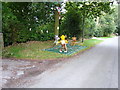
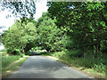
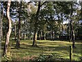
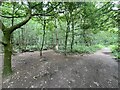
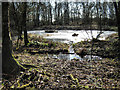

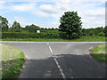
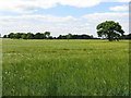
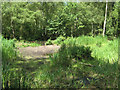
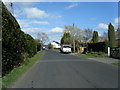
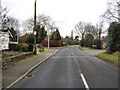
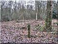
21 photos from this area
Area Information
Key information about the CW12 4SX including its size, population, and administrative classification.
- Area Type
- Postcode
- Area Size
- 46.4 hectares
- Population
- 1342
- Population Density
- 119 people/km²
House Prices in CW12 4SX
24
Properties
£501,207
Average Sold Price
£250,000
Lowest Price
£699,950
Highest Price
Showing 24 properties
| Address | Type | Beds | Baths | Last Sale Price | Last Sale Date | |
|---|---|---|---|---|---|---|
| Woodside, Moss Lane, Brereton Heath, CW12 4SX | Bungalow | 3 | 3 | £642,000 | Jan 2023 | |
| High Gables, Moss Lane, Brereton Heath, CW12 4SX | house | - | - | £594,000 | Apr 2021 | |
| Heathway, Moss Lane, Brereton Heath, CW12 4SX | Bungalow | 3 | - | £402,500 | Feb 2021 | |
| 6, Holly Tree House, Waters Edge, Moss Lane, Brereton Heath, CW12 4SX | Detached | 5 | 1 | £699,950 | Aug 2020 | |
| Montcalm, Moss Lane, Brereton Heath, CW12 4SX | Bungalow | 5 | - | £575,000 | Nov 2018 | |
| Moss Wood, Moss Lane, Brereton Heath, CW12 4SX | Land | 5 | 3 | £250,000 | Jun 2018 | |
| Oakfields, Moss Lane, Brereton Heath, CW12 4SX | house | - | - | £345,000 | Aug 2011 | |
| 4, Oystercatcher, Waters Edge, Moss Lane, Brereton Heath, CW12 4SX | Detached | 5 | 1 | - | - | |
| Bryoan, Moss Lane, Brereton Heath, CW12 4SX | Detached | - | - | - | - | |
| Silver Trees, Moss Lane, Brereton Heath, CW12 4SX | Detached | - | - | - | - |
Page 1 of 3
Energy Efficiency in CW12 4SX
Amenities
Schools
| Rank | School | Type | Entry gender | Ages |
|---|
Explore more schools in this area
Go to Schools tabDemographics
Household Size
Two person
most common
Accommodation Type
Houses
most common
Tenure
88
majority
Ethnic Group
White
most common
Religion
N/A
most common
Household Composition
N/A
most common
Age
47
median
Adults (30-64 years)
most common
Household Deprivation
N/A
with no deprivation
NS-SEC
47
in Lower managerial occupations
Explore more demographic insights in this area
Go to Demographics tabPlanning
Planning Constraints
- Flood RiskPremium
- Ramsar Wetland SitesPremium
- Area of Outstanding Natural BeautyPremium
- Protected Nature ReservePremium
- Protected WoodlandPremium