Area Overview for CW12 4SW
Photos of CW12 4SW
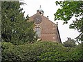
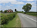
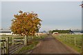
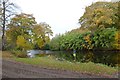
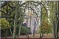
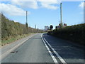
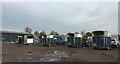
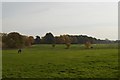
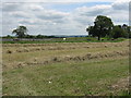
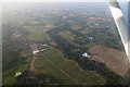
10 photos from this area
Area Information
Key information about the CW12 4SW including its size, population, and administrative classification.
- Area Type
- Postcode
- Area Size
- 51.5 hectares
- Population
- 2213
- Population Density
- 142 people/km²
House Prices in CW12 4SW
16
Properties
£350,760
Average Sold Price
£100,000
Lowest Price
£630,000
Highest Price
Showing 16 properties
| Address | Type | Beds | Baths | Last Sale Price | Last Sale Date | |
|---|---|---|---|---|---|---|
| Tree Cottage, Holmes Chapel Road, Somerford, CW12 4SW | house | - | - | £630,000 | Apr 2024 | |
| Bilberry Cottage, Holmes Chapel Road, Somerford, CW12 4SW | Detached | 3 | 1 | £590,000 | Oct 2022 | |
| Oakmere, Holmes Chapel Road, Somerford, CW12 4SW | Semi-detached | 3 | 2 | £100,000 | Nov 2007 | |
| Pecklow House, Holmes Chapel Road, Somerford, CW12 4SW | Detached | - | - | £208,800 | Jun 2001 | |
| Stoneycroft, Holmes Chapel Road, Somerford, CW12 4SW | house | 3 | - | £225,000 | Nov 2000 | |
| The Stud, Holmes Chapel Road, Somerford, CW12 4SW | Detached | 5 | 3 | - | - | |
| Woodlands Farm, Holmes Chapel Road, Somerford, CW12 4SW | Detached | 4 | - | - | - | |
| Woodlands Cottage, Holmes Chapel Road, Somerford, CW12 4SW | Semi-detached | - | - | - | - | |
| Somerford Park Farm, Holmes Chapel Road, Somerford, CW12 4SW | Detached | - | - | - | - | |
| Moss Cottage, Holmes Chapel Road, Somerford, CW12 4SW | Terraced | - | - | - | - |
Page 1 of 2
Energy Efficiency in CW12 4SW
Amenities
Schools
| Rank | School | Type | Entry gender | Ages |
|---|
Explore more schools in this area
Go to Schools tabDemographics
Household Size
Family (3-5 people)
most common
Accommodation Type
Houses
most common
Tenure
79
majority
Ethnic Group
White
most common
Religion
N/A
most common
Household Composition
N/A
most common
Age
47
median
Adults (30-64 years)
most common
Household Deprivation
N/A
with no deprivation
NS-SEC
47
in Lower managerial occupations
Explore more demographic insights in this area
Go to Demographics tabPlanning
Planning Constraints
- Flood RiskPremium
- Ramsar Wetland SitesPremium
- Area of Outstanding Natural BeautyPremium
- Protected Nature ReservePremium
- Protected WoodlandPremium