Area Overview for CW11 2ST
Photos of CW11 2ST
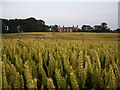
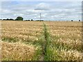
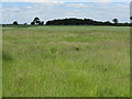
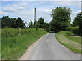
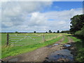
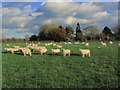

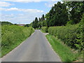
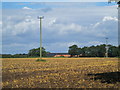
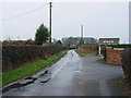
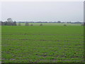
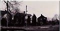
13 photos from this area
Area Information
Key information about the CW11 2ST including its size, population, and administrative classification.
- Area Type
- Postcode
- Area Size
- 1.4 km²
- Population
- 1342
- Population Density
- 119 people/km²
House Prices in CW11 2ST
27
Properties
£537,558
Average Sold Price
£82,500
Lowest Price
£905,000
Highest Price
Showing 27 properties
| Address | Type | Beds | Baths | Last Sale Price | Last Sale Date | |
|---|---|---|---|---|---|---|
| 8, Smethwick Hall Farm Barns, Smethwick Lane, Brereton, CW11 2ST | Semi-detached | 4 | 2 | £655,000 | Mar 2025 | |
| 7, Smethwick Hall Farm Barns, Smethwick Lane, Brereton, CW11 2ST | Semi-detached | 4 | 2 | £565,000 | Dec 2024 | |
| Lindisfarne, Smethwick Lane, Brereton, CW11 2ST | Detached | 6 | 5 | £905,000 | Sep 2023 | |
| 3, Smethwick Hall Farm Barns, Smethwick Lane, Brereton, CW11 2ST | house | 4 | - | £495,000 | May 2021 | |
| 1, Smethwick Hall Farm Barns, Smethwick Lane, Brereton, CW11 2ST | Semi-detached | 3 | - | £455,000 | Apr 2021 | |
| 6, Smethwick Hall Farm Barns, Smethwick Lane, Brereton, CW11 2ST | house | - | - | £645,000 | Apr 2021 | |
| 2, Smethwick Hall Farm Barns, Smethwick Lane, Brereton, CW11 2ST | Semi-detached | 3 | 2 | £432,500 | Jan 2021 | |
| Smethwick Hall, Smethwick Lane, Brereton, CW11 2ST | Detached | 7 | 2 | £865,000 | Aug 2020 | |
| The Annexe, Smethwick Hall Farm, Smethwick Lane, Brereton, CW11 2ST | Detached | - | - | £865,000 | Aug 2020 | |
| 6 SMETHWICK LANE, Brereton, CW11 2ST | Semi-detached | 4 | 2 | £355,000 | Dec 2019 |
Page 1 of 3
Energy Efficiency in CW11 2ST
Amenities
Schools
| Rank | School | Type | Entry gender | Ages |
|---|
Explore more schools in this area
Go to Schools tabDemographics
Household Size
Two person
most common
Accommodation Type
Houses
most common
Tenure
88
majority
Ethnic Group
White
most common
Religion
N/A
most common
Household Composition
N/A
most common
Age
47
median
Adults (30-64 years)
most common
Household Deprivation
N/A
with no deprivation
NS-SEC
47
in Lower managerial occupations
Explore more demographic insights in this area
Go to Demographics tabPlanning
Planning Constraints
- Flood RiskPremium
- Ramsar Wetland SitesPremium
- Area of Outstanding Natural BeautyPremium
- Protected Nature ReservePremium
- Protected WoodlandPremium