Area Overview for BB12 7NZ
Photos of BB12 7NZ
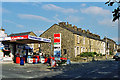
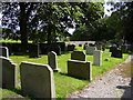
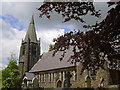
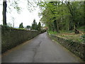
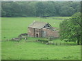
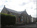
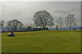
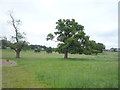
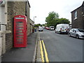
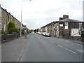
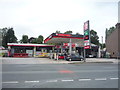
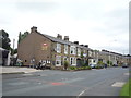
41 photos from this area
Area Information
Key information about the BB12 7NZ including its size, population, and administrative classification.
- Area Type
- Postcode
- Area Size
- 9001 m²
- Population
- 1417
- Population Density
- 250 people/km²
House Prices in BB12 7NZ
23
Properties
£109,277
Average Sold Price
£38,250
Lowest Price
£185,000
Highest Price
Showing 23 properties
| Address | Type | Beds | Baths | Last Sale Price | Last Sale Date | |
|---|---|---|---|---|---|---|
| 30 Whalley Road, Simonstone, BB12 7NZ | Terraced | 3 | 1 | £185,000 | Jun 2025 | |
| 36 Whalley Road, Simonstone, BB12 7NZ | Terraced | 2 | 1 | £145,000 | Aug 2024 | |
| 38 Whalley Road, Simonstone, BB12 7NZ | Terraced | 3 | 2 | £183,000 | Jul 2023 | |
| 26 Whalley Road, Simonstone, BB12 7NZ | house | - | - | £134,950 | Oct 2019 | |
| 44 Whalley Road, Simonstone, BB12 7NZ | house | - | - | £100,000 | Aug 2019 | |
| 24 Whalley Road, Simonstone, BB12 7NZ | house | - | - | £128,500 | Jul 2010 | |
| 40 Whalley Road, Simonstone, BB12 7NZ | house | - | - | £137,500 | Sep 2009 | |
| 22 Whalley Road, Simonstone, BB12 7NZ | house | - | - | £115,000 | Jul 2009 | |
| 20 Whalley Road, Simonstone, BB12 7NZ | Terraced | - | - | £55,000 | Feb 2008 | |
| 42 Whalley Road, Simonstone, BB12 7NZ | Terraced | - | - | £160,000 | Feb 2007 |
Page 1 of 3
Energy Efficiency in BB12 7NZ
Amenities
Schools
| Rank | School | Type | Entry gender | Ages |
|---|
Explore more schools in this area
Go to Schools tabDemographics
Household Size
Two person
most common
Accommodation Type
Houses
most common
Tenure
78
majority
Ethnic Group
White
most common
Religion
N/A
most common
Household Composition
N/A
most common
Age
47
median
Adults (30-64 years)
most common
Household Deprivation
N/A
with no deprivation
NS-SEC
42
in Lower managerial occupations
Explore more demographic insights in this area
Go to Demographics tabPlanning
Planning Constraints
- Flood RiskPremium
- Ramsar Wetland SitesPremium
- Area of Outstanding Natural BeautyPremium
- Protected Nature ReservePremium
- Protected WoodlandPremium