Area Overview for BB12 0LH
Photos of BB12 0LH
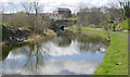
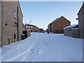
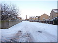
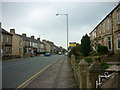
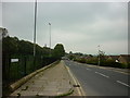
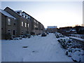
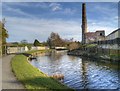
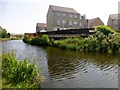
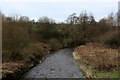
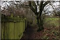
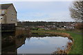
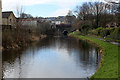
38 photos from this area
Area Information
Key information about the BB12 0LH including its size, population, and administrative classification.
- Area Type
- Postcode
- Area Size
- 2.0 hectares
- Population
- 1411
- Population Density
- 6417 people/km²
House Prices in BB12 0LH
11
Properties
£211,431
Average Sold Price
£60,000
Lowest Price
£375,000
Highest Price
Showing 11 properties
| Address | Type | Beds | Baths | Last Sale Price | Last Sale Date | |
|---|---|---|---|---|---|---|
| 50 Ightenhill Park Lane, Burnley, BB12 0LH | Terraced | 4 | 2 | £239,950 | Aug 2023 | |
| 48 Ightenhill Park Lane, Burnley, BB12 0LH | Retail | 4 | 2 | £225,000 | Mar 2022 | |
| 64 Ightenhill Park Lane, Burnley, BB12 0LH | house | - | - | £375,000 | Jul 2019 | |
| 62 Ightenhill Park Lane, Burnley, BB12 0LH | house | - | - | £185,000 | Oct 2011 | |
| 60 Ightenhill Park Lane, Burnley, BB12 0LH | Terraced | - | - | £270,000 | Dec 2007 | |
| 54 Ightenhill Park Lane, Burnley, BB12 0LH | Terraced | - | - | £148,500 | Apr 2007 | |
| Ightenhill Park Lodge, Ightenhill Park Lane, Burnley, BB12 0LH | Detached | 4 | 2 | £188,000 | Sep 2003 | |
| 56 Ightenhill Park Lane, Burnley, BB12 0LH | house | - | - | £60,000 | Feb 2000 | |
| 66 Ightenhill Park Lane, Burnley, BB12 0LH | Detached | 5 | 1 | - | - | |
| 58 Ightenhill Park Lane, Burnley, BB12 0LH | house | - | - | - | - |
Page 1 of 2
Energy Efficiency in BB12 0LH
Amenities
Schools
| Rank | School | Type | Entry gender | Ages |
|---|
Explore more schools in this area
Go to Schools tabDemographics
Household Size
One person
most common
Accommodation Type
Houses
most common
Tenure
64
majority
Ethnic Group
White
most common
Religion
N/A
most common
Household Composition
N/A
most common
Age
47
median
Adults (30-64 years)
most common
Household Deprivation
N/A
with no deprivation
NS-SEC
26
in Lower managerial occupations
Explore more demographic insights in this area
Go to Demographics tabPlanning
Planning Constraints
- Flood RiskPremium
- Ramsar Wetland SitesPremium
- Area of Outstanding Natural BeautyPremium
- Protected Nature ReservePremium
- Protected WoodlandPremium