Area Overview for BB12 0LE
Photos of BB12 0LE
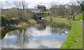
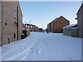
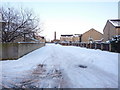
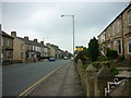
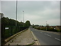
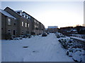
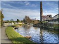
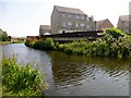
38 photos from this area
Area Information
Key information about the BB12 0LE including its size, population, and administrative classification.
- Area Type
- Postcode
- Area Size
- 9674 m²
- Population
- 1411
- Population Density
- 6417 people/km²
House Prices in BB12 0LE
36
Properties
£130,307
Average Sold Price
£20,000
Lowest Price
£355,000
Highest Price
Showing 36 properties
| Address | Type | Beds | Baths | Last Sale Price | Last Sale Date | |
|---|---|---|---|---|---|---|
| 34 Ightenhill Park Lane, Burnley, BB12 0LE | Terraced | 2 | 1 | £160,000 | Sep 2024 | |
| 33 Ightenhill Park Lane, Burnley, BB12 0LE | Terraced | 6 | 1 | £355,000 | Mar 2024 | |
| 42 Ightenhill Park Lane, Burnley, BB12 0LE | Terraced | 2 | 1 | £162,500 | Feb 2024 | |
| 40 Ightenhill Park Lane, Burnley, BB12 0LE | Terraced | 3 | 1 | £20,000 | Feb 2024 | |
| 22 Ightenhill Park Lane, Burnley, BB12 0LE | Semi-detached | 3 | 3 | £200,000 | Oct 2023 | |
| 7 Ightenhill Park Lane, Burnley, BB12 0LE | Terraced | 3 | 1 | £78,000 | Jan 2023 | |
| 28 Ightenhill Park Lane, Burnley, BB12 0LE | Detached | 3 | 1 | £187,000 | Nov 2022 | |
| 13 Ightenhill Park Lane, Burnley, BB12 0LE | house | - | - | £143,000 | Jul 2021 | |
| 44 Ightenhill Park Lane, Burnley, BB12 0LE | Terraced | 3 | - | £160,000 | Jun 2021 | |
| 17 Ightenhill Park Lane, Burnley, BB12 0LE | Terraced | 4 | 2 | £80,000 | Apr 2021 |
Page 1 of 4
Energy Efficiency in BB12 0LE
Amenities
Schools
| Rank | School | Type | Entry gender | Ages |
|---|
Explore more schools in this area
Go to Schools tabDemographics
Household Size
One person
most common
Accommodation Type
Houses
most common
Tenure
64
majority
Ethnic Group
White
most common
Religion
N/A
most common
Household Composition
N/A
most common
Age
47
median
Adults (30-64 years)
most common
Household Deprivation
N/A
with no deprivation
NS-SEC
26
in Lower managerial occupations
Explore more demographic insights in this area
Go to Demographics tabPlanning
Planning Constraints
- Flood RiskPremium
- Ramsar Wetland SitesPremium
- Area of Outstanding Natural BeautyPremium
- Protected Nature ReservePremium
- Protected WoodlandPremium