Area Overview for TS12 2UQ
Photos of TS12 2UQ
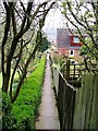
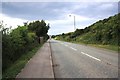
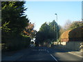
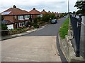
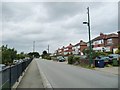
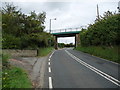
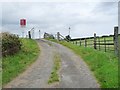
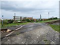
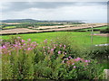
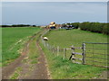
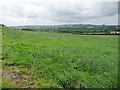
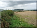
26 photos from this area
Area Information
Key information about the TS12 2UQ including its size, population, and administrative classification.
- Area Type
- Postcode
- Area Size
- 9352 m²
- Population
- 1222
- Population Density
- 236 people/km²
House Prices in TS12 2UQ
19
Properties
£161,041
Average Sold Price
£69,995
Lowest Price
£263,000
Highest Price
Showing 19 properties
| Address | Type | Beds | Baths | Last Sale Price | Last Sale Date | |
|---|---|---|---|---|---|---|
| 8 Hunley Close, Brotton, TS12 2UQ | Bungalow | 3 | 1 | £263,000 | Apr 2024 | |
| 11 Hunley Close, Brotton, TS12 2UQ | Bungalow | - | - | £172,000 | Jan 2023 | |
| 20 Hunley Close, Brotton, TS12 2UQ | Bungalow | 3 | 1 | £240,000 | Oct 2022 | |
| 10 Hunley Close, Brotton, TS12 2UQ | Bungalow | - | - | £174,000 | Nov 2020 | |
| 22 Hunley Close, Brotton, TS12 2UQ | Bungalow | 4 | 1 | £200,000 | Apr 2020 | |
| 6 Hunley Close, Brotton, TS12 2UQ | Bungalow | - | - | £142,500 | Oct 2013 | |
| 2 Hunley Close, Brotton, TS12 2UQ | Retail | 3 | 1 | £195,000 | Apr 2007 | |
| 7 Hunley Close, Brotton, TS12 2UQ | Terraced | - | - | £135,000 | Jan 2006 | |
| 13 Hunley Close, Brotton, TS12 2UQ | Bungalow | - | - | £120,000 | Nov 2005 | |
| 5 Hunley Close, Brotton, TS12 2UQ | Terraced | - | - | £140,000 | Nov 2004 |
Page 1 of 2
Energy Efficiency in TS12 2UQ
Amenities
Schools
| Rank | School | Type | Entry gender | Ages |
|---|
Explore more schools in this area
Go to Schools tabDemographics
Household Size
Two person
most common
Accommodation Type
Houses
most common
Tenure
91
majority
Ethnic Group
White
most common
Religion
N/A
most common
Household Composition
N/A
most common
Age
47
median
Adults (30-64 years)
most common
Household Deprivation
N/A
with no deprivation
NS-SEC
27
in Lower managerial occupations
Explore more demographic insights in this area
Go to Demographics tabPlanning
Planning Constraints
- Flood RiskPremium
- Ramsar Wetland SitesPremium
- Area of Outstanding Natural BeautyPremium
- Protected Nature ReservePremium
- Protected WoodlandPremium