Area Overview for DH1 1RU
Photos of DH1 1RU
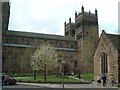
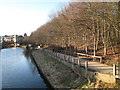
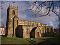
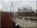
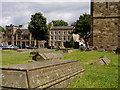
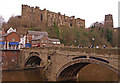
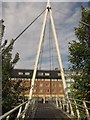
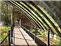
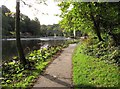
100 photos from this area
Area Information
Key information about the DH1 1RU including its size, population, and administrative classification.
- Area Type
- Postcode
- Area Size
- 5435 m²
- Population
- 6464
- Population Density
- 1138 people/km²
House Prices in DH1 1RU
19
Properties
£153,455
Average Sold Price
£38,050
Lowest Price
£280,000
Highest Price
Showing 19 properties
| Address | Type | Beds | Baths | Last Sale Price | Last Sale Date | |
|---|---|---|---|---|---|---|
| 17 Wanless Terrace, Durham, DH1 1RU | Terraced | 2 | - | £180,000 | Mar 2021 | |
| 1 Wanless Terrace, Durham, DH1 1RU | house | - | - | £280,000 | Mar 2021 | |
| 4 Wanless Terrace, Durham, DH1 1RU | Terraced | 4 | 1 | £250,000 | Oct 2015 | |
| 7 Wanless Terrace, Durham, DH1 1RU | Terraced | 6 | 1 | £172,500 | Jan 2014 | |
| 6 Wanless Terrace, Durham, DH1 1RU | house | 4 | - | £167,000 | Aug 2011 | |
| 11 Wanless Terrace, Durham, DH1 1RU | house | - | - | £185,000 | Jun 2007 | |
| 2 Wanless Terrace, Durham, DH1 1RU | house | - | - | £125,000 | Feb 2003 | |
| 14 Wanless Terrace, Durham, DH1 1RU | house | - | - | £148,000 | Feb 2003 | |
| 10 Wanless Terrace, Durham, DH1 1RU | studentAccommodation | 4 | - | £92,500 | Sep 2000 | |
| 3 Wanless Terrace, Durham, DH1 1RU | Terraced | 5 | - | £49,950 | Dec 1997 |
Page 1 of 2
Energy Efficiency in DH1 1RU
Amenities
Schools
| Rank | School | Type | Entry gender | Ages |
|---|
Explore more schools in this area
Go to Schools tabDemographics
Household Size
One person
most common
Accommodation Type
Houses
most common
Tenure
25
majority
Ethnic Group
White
most common
Religion
N/A
most common
Household Composition
N/A
most common
Age
22
median
Young Adults (15-29 years)
most common
Household Deprivation
N/A
with no deprivation
NS-SEC
5
in Lower managerial occupations
Explore more demographic insights in this area
Go to Demographics tabPlanning
Planning Constraints
- Flood RiskPremium
- Ramsar Wetland SitesPremium
- Area of Outstanding Natural BeautyPremium
- Protected Nature ReservePremium
- Protected WoodlandPremium