Area Overview for DH1 1RT
Photos of DH1 1RT
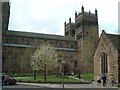
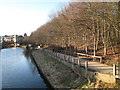
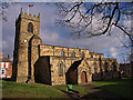
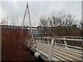
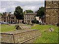
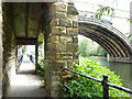
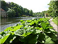
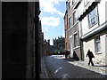
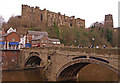
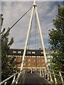
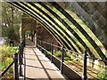
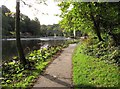
100 photos from this area
Area Information
Key information about the DH1 1RT including its size, population, and administrative classification.
- Area Type
- Postcode
- Area Size
- 2535 m²
- Population
- 6464
- Population Density
- 1138 people/km²
House Prices in DH1 1RT
14
Properties
£133,250
Average Sold Price
£32,500
Lowest Price
£215,000
Highest Price
Showing 14 properties
| Address | Type | Beds | Baths | Last Sale Price | Last Sale Date | |
|---|---|---|---|---|---|---|
| 7 Finney Terrace, Durham, DH1 1RT | house | - | - | £215,000 | Jan 2022 | |
| 8 Finney Terrace, Durham, DH1 1RT | house | 2 | 1 | £166,000 | Sep 2019 | |
| 4 Finney Terrace, Durham, DH1 1RT | Terraced | 2 | 1 | £163,000 | Jan 2015 | |
| 11 Finney Terrace, Durham, DH1 1RT | Terraced | 2 | 1 | £160,000 | Mar 2014 | |
| 1 Finney Terrace, Durham, DH1 1RT | house | 2 | 1 | £203,500 | Feb 2004 | |
| 3 Finney Terrace, Durham, DH1 1RT | house | - | - | £32,500 | Nov 1999 | |
| 5 Finney Terrace, Durham, DH1 1RT | Terraced | - | - | £63,500 | Jul 1997 | |
| 9 Finney Terrace, Durham, DH1 1RT | Terraced | 2 | 1 | £62,500 | Sep 1996 | |
| Hillside Cottage, Finney Terrace, Durham, DH1 1RT | Detached | 2 | 1 | - | - | |
| Hillside Annexe, Finney Terrace, Durham, DH1 1RT | Maisonette | - | - | - | - |
Page 1 of 2
Energy Efficiency in DH1 1RT
Amenities
Schools
| Rank | School | Type | Entry gender | Ages |
|---|
Explore more schools in this area
Go to Schools tabDemographics
Household Size
One person
most common
Accommodation Type
Houses
most common
Tenure
25
majority
Ethnic Group
White
most common
Religion
N/A
most common
Household Composition
N/A
most common
Age
22
median
Young Adults (15-29 years)
most common
Household Deprivation
N/A
with no deprivation
NS-SEC
5
in Lower managerial occupations
Explore more demographic insights in this area
Go to Demographics tabPlanning
Planning Constraints
- Flood RiskPremium
- Ramsar Wetland SitesPremium
- Area of Outstanding Natural BeautyPremium
- Protected Nature ReservePremium
- Protected WoodlandPremium