Area Overview for UB8 3NY
Photos of UB8 3NY
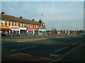
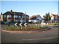
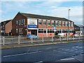
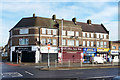
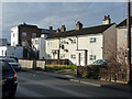
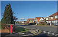
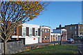
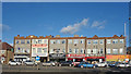
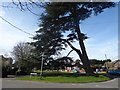
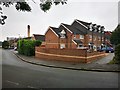
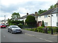
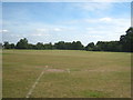
20 photos from this area
Area Information
Key information about the UB8 3NY including its size, population, and administrative classification.
- Area Type
- Postcode
- Area Size
- 2.9 hectares
- Population
- 2323
- Population Density
- 3260 people/km²
House Prices in UB8 3NY
44
Properties
£478,730
Average Sold Price
£91,500
Lowest Price
£875,000
Highest Price
Showing 44 properties
| Address | Type | Beds | Baths | Last Sale Price | Last Sale Date | |
|---|---|---|---|---|---|---|
| 39 Micawber Avenue, Uxbridge, UB8 3NY | Detached | 4 | 2 | £625,000 | Aug 2025 | |
| 1 Micawber Avenue, Uxbridge, UB8 3NY | Bungalow | 3 | 1 | £650,000 | Dec 2024 | |
| 34 Micawber Avenue, Uxbridge, UB8 3NY | Bungalow | 2 | 1 | £755,000 | Oct 2024 | |
| 15 Micawber Avenue, Uxbridge, UB8 3NY | Bungalow | 4 | 1 | £665,000 | Jun 2024 | |
| 29 Micawber Avenue, Uxbridge, UB8 3NY | Bungalow | 3 | 2 | £690,000 | May 2024 | |
| 4 Micawber Avenue, Uxbridge, UB8 3NY | Bungalow | 6 | 2 | £540,000 | Dec 2023 | |
| 30 Micawber Avenue, Uxbridge, UB8 3NY | Bungalow | 2 | 1 | £575,000 | Jun 2023 | |
| 25 Micawber Avenue, Uxbridge, UB8 3NY | Retail | 3 | 2 | £747,500 | Dec 2022 | |
| 36 Micawber Avenue, Uxbridge, UB8 3NY | Detached | - | - | £490,000 | Sep 2022 | |
| 19 Micawber Avenue, Uxbridge, UB8 3NY | Bungalow | 5 | 3 | £875,000 | Jun 2022 |
Page 1 of 5
Energy Efficiency in UB8 3NY
Amenities
Schools
| Rank | School | Type | Entry gender | Ages |
|---|
Explore more schools in this area
Go to Schools tabDemographics
Household Size
Family (3-5 people)
most common
Accommodation Type
Houses
most common
Tenure
62
majority
Ethnic Group
White
most common
Religion
N/A
most common
Household Composition
N/A
most common
Age
47
median
Adults (30-64 years)
most common
Household Deprivation
N/A
with no deprivation
NS-SEC
37
in Lower managerial occupations
Explore more demographic insights in this area
Go to Demographics tabPlanning
Planning Constraints
- Flood RiskPremium
- Ramsar Wetland SitesPremium
- Area of Outstanding Natural BeautyPremium
- Protected Nature ReservePremium
- Protected WoodlandPremium