Area Overview for UB8 3NG
Photos of UB8 3NG
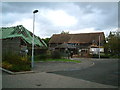
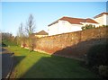
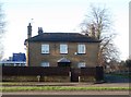
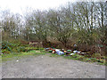
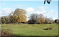
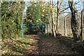
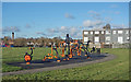
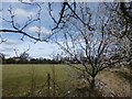
21 photos from this area
Area Information
Key information about the UB8 3NG including its size, population, and administrative classification.
- Area Type
- Postcode
- Area Size
- 7420 m²
- Population
- 1651
- Population Density
- 8206 people/km²
House Prices in UB8 3NG
10
Properties
£322,750
Average Sold Price
£173,000
Lowest Price
£490,000
Highest Price
Showing 10 properties
| Address | Type | Beds | Baths | Last Sale Price | Last Sale Date | |
|---|---|---|---|---|---|---|
| 34 Pield Heath Road, Uxbridge, UB8 3NG | Semi-detached | 3 | 1 | £490,000 | Jul 2024 | |
| 38 Pield Heath Road, Uxbridge, UB8 3NG | Semi-detached | 3 | 2 | £340,000 | Apr 2015 | |
| 36 Pield Heath Road, Uxbridge, UB8 3NG | house | 3 | 1 | £295,000 | Feb 2013 | |
| 40 Pield Heath Road, Uxbridge, UB8 3NG | Semi-detached | - | - | £278,500 | Jun 2007 | |
| 32 Pield Heath Road, Uxbridge, UB8 3NG | Detached | 4 | - | £173,000 | Nov 2001 | |
| 42 Pield Heath Road, Uxbridge, UB8 3NG | Semi-detached | - | - | £360,000 | Jun 1999 | |
| 46 Pield Heath Road, Uxbridge, UB8 3NG | Semi-detached | - | - | - | - | |
| 24 Pield Heath Road, Uxbridge, UB8 3NG | office_workshop | - | - | - | - | |
| 48 Pield Heath Road, Uxbridge, UB8 3NG | shop | - | - | - | - | |
| 48-54 Pield Heath Road, Uxbridge, UB8 3NG | shop | - | - | - | - |
Energy Efficiency in UB8 3NG
Amenities
Schools
| Rank | School | Type | Entry gender | Ages |
|---|
Explore more schools in this area
Go to Schools tabDemographics
Household Size
Family (3-5 people)
most common
Accommodation Type
Houses
most common
Tenure
39
majority
Ethnic Group
White
most common
Religion
N/A
most common
Household Composition
N/A
most common
Age
47
median
Adults (30-64 years)
most common
Household Deprivation
N/A
with no deprivation
NS-SEC
25
in Lower managerial occupations
Explore more demographic insights in this area
Go to Demographics tabPlanning
Planning Constraints
- Flood RiskPremium
- Ramsar Wetland SitesPremium
- Area of Outstanding Natural BeautyPremium
- Protected Nature ReservePremium
- Protected WoodlandPremium