Area Overview for UB8 3NU
Photos of UB8 3NU
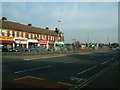
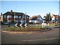
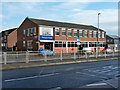
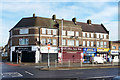
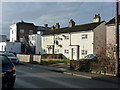
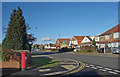
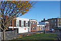
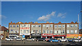
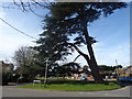
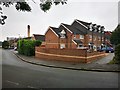
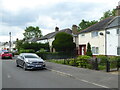
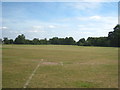
20 photos from this area
Area Information
Key information about the UB8 3NU including its size, population, and administrative classification.
- Area Type
- Postcode
- Area Size
- 2.6 hectares
- Population
- 2323
- Population Density
- 3260 people/km²
House Prices in UB8 3NU
35
Properties
£450,161
Average Sold Price
£138,000
Lowest Price
£750,000
Highest Price
Showing 35 properties
| Address | Type | Beds | Baths | Last Sale Price | Last Sale Date | |
|---|---|---|---|---|---|---|
| 11 Copperfield Avenue, Uxbridge, UB8 3NU | Bungalow | 3 | 1 | £420,000 | Apr 2024 | |
| 7 Copperfield Avenue, Uxbridge, UB8 3NU | Retail | 3 | 1 | £750,000 | Sep 2022 | |
| 29 Copperfield Avenue, Uxbridge, UB8 3NU | Bungalow | - | - | £630,000 | Jun 2021 | |
| 25 Copperfield Avenue, Uxbridge, UB8 3NU | Bungalow | 4 | 2 | £625,000 | Jun 2020 | |
| 4A Copperfield Avenue, Uxbridge, UB8 3NU | Bungalow | 3 | - | £700,000 | Jan 2020 | |
| 10 Copperfield Avenue, Uxbridge, UB8 3NU | Bungalow | 4 | - | £735,000 | Oct 2019 | |
| 6A Copperfield Avenue, Uxbridge, UB8 3NU | Semi-detached | 4 | 1 | £500,000 | Sep 2019 | |
| 2A Copperfield Avenue, Uxbridge, UB8 3NU | Bungalow | - | - | £500,000 | Jul 2019 | |
| 28 Copperfield Avenue, Uxbridge, UB8 3NU | Bungalow | 4 | 2 | £440,000 | Jun 2019 | |
| 23 Copperfield Avenue, Uxbridge, UB8 3NU | Bungalow | 3 | 2 | £477,000 | Jun 2019 |
Page 1 of 4
Energy Efficiency in UB8 3NU
Amenities
Schools
| Rank | School | Type | Entry gender | Ages |
|---|
Explore more schools in this area
Go to Schools tabDemographics
Household Size
Family (3-5 people)
most common
Accommodation Type
Houses
most common
Tenure
62
majority
Ethnic Group
White
most common
Religion
N/A
most common
Household Composition
N/A
most common
Age
47
median
Adults (30-64 years)
most common
Household Deprivation
N/A
with no deprivation
NS-SEC
37
in Lower managerial occupations
Explore more demographic insights in this area
Go to Demographics tabPlanning
Planning Constraints
- Flood RiskPremium
- Ramsar Wetland SitesPremium
- Area of Outstanding Natural BeautyPremium
- Protected Nature ReservePremium
- Protected WoodlandPremium