Area Overview for UB7 7PW
Photos of UB7 7PW
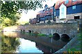
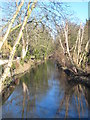
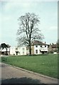
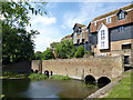
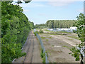
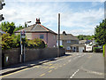
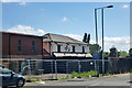
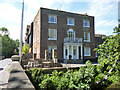
60 photos from this area
Area Information
Key information about the UB7 7PW including its size, population, and administrative classification.
- Area Type
- Postcode
- Area Size
- 3.4 hectares
- Population
- 1802
- Population Density
- 3534 people/km²
House Prices in UB7 7PW
26
Properties
£359,833
Average Sold Price
£186,000
Lowest Price
£470,000
Highest Price
Showing 26 properties
| Address | Type | Beds | Baths | Last Sale Price | Last Sale Date | |
|---|---|---|---|---|---|---|
| 55 The Green, West Drayton, UB7 7PW | Terraced | 2 | 1 | £470,000 | Apr 2024 | |
| 45 The Green, West Drayton, UB7 7PW | Terraced | 3 | 1 | £470,000 | Feb 2023 | |
| 57 The Green, West Drayton, UB7 7PW | Cottage | 3 | 1 | £470,000 | Nov 2022 | |
| 49 The Green, West Drayton, UB7 7PW | Terraced | 2 | 1 | £415,000 | Jun 2021 | |
| 53 The Green, West Drayton, UB7 7PW | house | - | - | £440,000 | Jun 2021 | |
| 67 The Green, West Drayton, UB7 7PW | Detached | 2 | 1 | £417,840 | Sep 2019 | |
| 59 The Green, West Drayton, UB7 7PW | Terraced | 2 | 1 | £380,000 | Aug 2016 | |
| 51 The Green, West Drayton, UB7 7PW | Terraced | 3 | 1 | £407,500 | Mar 2016 | |
| 35 The Green, West Drayton, UB7 7PW | Semi-detached | 2 | 1 | £356,000 | Jul 2014 | |
| 69 The Green, West Drayton, UB7 7PW | house | - | - | £385,000 | Dec 2012 |
Page 1 of 3
Energy Efficiency in UB7 7PW
Amenities
Schools
| Rank | School | Type | Entry gender | Ages |
|---|
Explore more schools in this area
Go to Schools tabDemographics
Household Size
Family (3-5 people)
most common
Accommodation Type
Houses
most common
Tenure
68
majority
Ethnic Group
White
most common
Religion
N/A
most common
Household Composition
N/A
most common
Age
47
median
Adults (30-64 years)
most common
Household Deprivation
N/A
with no deprivation
NS-SEC
35
in Lower managerial occupations
Explore more demographic insights in this area
Go to Demographics tabPlanning
Planning Constraints
- Flood RiskPremium
- Ramsar Wetland SitesPremium
- Area of Outstanding Natural BeautyPremium
- Protected Nature ReservePremium
- Protected WoodlandPremium