Area Overview for UB7 7PQ
Photos of UB7 7PQ
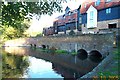
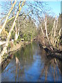
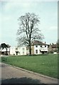
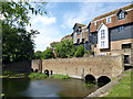
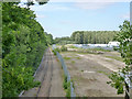
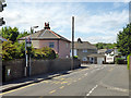
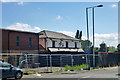
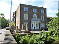
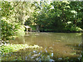
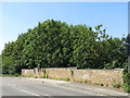
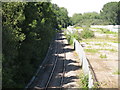
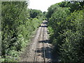
60 photos from this area
Area Information
Key information about the UB7 7PQ including its size, population, and administrative classification.
- Area Type
- Postcode
- Area Size
- 1.4 hectares
- Population
- 1603
- Population Density
- 1830 people/km²
House Prices in UB7 7PQ
35
Properties
£255,333
Average Sold Price
£56,000
Lowest Price
£610,000
Highest Price
Showing 35 properties
| Address | Type | Beds | Baths | Last Sale Price | Last Sale Date | |
|---|---|---|---|---|---|---|
| 50 The Green, West Drayton, UB7 7PQ | Flat | 2 | 1 | £292,500 | Jul 2022 | |
| 60 The Green, West Drayton, UB7 7PQ | Maisonette | 2 | 1 | £223,000 | Dec 2014 | |
| 54 The Green, West Drayton, UB7 7PQ | Flat | - | - | £147,000 | Jul 2011 | |
| 24 The Green, West Drayton, UB7 7PQ | Semi-detached | - | - | £610,000 | Sep 2007 | |
| 26 The Green, West Drayton, UB7 7PQ | Semi-detached | - | - | £557,500 | Jun 2007 | |
| Wayside, The Green, West Drayton, UB7 7PQ | Detached | - | - | £380,000 | Aug 2006 | |
| 52 The Green, West Drayton, UB7 7PQ | Flat | - | - | £173,000 | Aug 2006 | |
| 34 The Green, West Drayton, UB7 7PQ | Semi-detached | - | - | £300,000 | Jun 2006 | |
| 32 The Green, West Drayton, UB7 7PQ | Flat | - | - | £100,000 | Jun 2006 | |
| 62 The Green, West Drayton, UB7 7PQ | Flat | - | - | £169,500 | Apr 2006 |
Page 1 of 4
Energy Efficiency in UB7 7PQ
Amenities
Schools
| Rank | School | Type | Entry gender | Ages |
|---|
Explore more schools in this area
Go to Schools tabDemographics
Household Size
Family (3-5 people)
most common
Accommodation Type
Houses
most common
Tenure
54
majority
Ethnic Group
White
most common
Religion
N/A
most common
Household Composition
N/A
most common
Age
47
median
Adults (30-64 years)
most common
Household Deprivation
N/A
with no deprivation
NS-SEC
32
in Lower managerial occupations
Explore more demographic insights in this area
Go to Demographics tabPlanning
Planning Constraints
- Flood RiskPremium
- Ramsar Wetland SitesPremium
- Area of Outstanding Natural BeautyPremium
- Protected Nature ReservePremium
- Protected WoodlandPremium