Area Overview for TW5 0JG
Photos of TW5 0JG
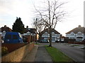
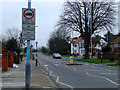
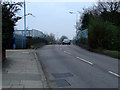

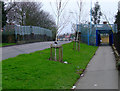
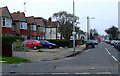
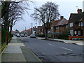
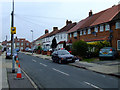
68 photos from this area
Area Information
Key information about the TW5 0JG including its size, population, and administrative classification.
- Area Type
- Postcode
- Area Size
- 1.9 hectares
- Population
- 2007
- Population Density
- 7069 people/km²
House Prices in TW5 0JG
29
Properties
£372,367
Average Sold Price
£73,500
Lowest Price
£570,000
Highest Price
Showing 29 properties
| Address | Type | Beds | Baths | Last Sale Price | Last Sale Date | |
|---|---|---|---|---|---|---|
| 70 West Way, Hounslow, TW5 0JG | house | - | - | £525,000 | Mar 2025 | |
| 58 West Way, Hounslow, TW5 0JG | Semi-detached | 3 | 1 | £570,000 | Oct 2024 | |
| 78 West Way, Hounslow, TW5 0JG | Semi-detached | 4 | 3 | £517,500 | Dec 2019 | |
| 84 West Way, Hounslow, TW5 0JG | Semi-detached | 4 | 2 | £422,000 | Jul 2018 | |
| 94 West Way, Hounslow, TW5 0JG | Semi-detached | 3 | 1 | £545,000 | Apr 2018 | |
| 106 West Way, Hounslow, TW5 0JG | Semi-detached | 3 | 2 | £460,000 | Dec 2017 | |
| 100 West Way, Hounslow, TW5 0JG | house | - | - | £525,000 | May 2016 | |
| 98 West Way, Hounslow, TW5 0JG | Semi-detached | 3 | - | £385,000 | Aug 2014 | |
| 90 West Way, Hounslow, TW5 0JG | house | 3 | - | £345,000 | Feb 2013 | |
| 96 West Way, Hounslow, TW5 0JG | Semi-detached | - | - | £305,500 | Feb 2008 |
Page 1 of 3
Energy Efficiency in TW5 0JG
Amenities
Schools
| Rank | School | Type | Entry gender | Ages |
|---|
Explore more schools in this area
Go to Schools tabDemographics
Household Size
Family (3-5 people)
most common
Accommodation Type
Houses
most common
Tenure
47
majority
Ethnic Group
asian_total
most common
Religion
N/A
most common
Household Composition
N/A
most common
Age
47
median
Adults (30-64 years)
most common
Household Deprivation
N/A
with no deprivation
NS-SEC
24
in Lower managerial occupations
Explore more demographic insights in this area
Go to Demographics tabPlanning
Planning Constraints
- Flood RiskPremium
- Ramsar Wetland SitesPremium
- Area of Outstanding Natural BeautyPremium
- Protected Nature ReservePremium
- Protected WoodlandPremium