Area Overview for TW1 1RF
Photos of TW1 1RF
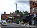
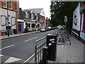
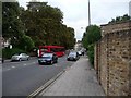
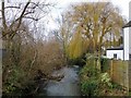
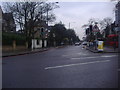

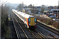
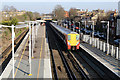
82 photos from this area
Area Information
Key information about the TW1 1RF including its size, population, and administrative classification.
- Area Type
- Postcode
- Area Size
- 700 m²
- Population
- 1568
- Population Density
- 11807 people/km²
House Prices in TW1 1RF
6
Properties
£477,500
Average Sold Price
£455,000
Lowest Price
£500,000
Highest Price
Showing 6 properties
| Address | Type | Beds | Baths | Last Sale Price | Last Sale Date | |
|---|---|---|---|---|---|---|
| Formerly Grebot Donnelly Associates Ltd, 1, The Mews, Bridge Road, Twickenham, TW1 1RF | Terraced | 1 | 1 | £455,000 | Oct 2022 | |
| Formerly Bathurst Brown Downie & Airey, 6, The Mews, Bridge Road, Twickenham, TW1 1RF | Terraced | 3 | 2 | £500,000 | Apr 2021 | |
| 3, The Mews, Bridge Road, Twickenham, TW1 1RF | Terraced | 3 | 2 | - | - | |
| Appleton Company Services Ltd, 4, The Mews, Bridge Road, Twickenham, TW1 1RF | office_workshop | - | - | - | - | |
| Lovell Chohan Solicitors Ltd, 2, Ground Floor, The Mews, Bridge Road, Twickenham, TW1 1RF | office_workshop | - | - | - | - | |
| Highcross (slough) Management Ltd, 2, First And Second Floor, The Mews, Bridge Road, Twickenham, TW1 1RF | Office | - | - | - | - |
Energy Efficiency in TW1 1RF
Amenities
Schools
| Rank | School | Type | Entry gender | Ages |
|---|
Explore more schools in this area
Go to Schools tabDemographics
Household Size
Family (3-5 people)
most common
Accommodation Type
Houses
most common
Tenure
64
majority
Ethnic Group
White
most common
Religion
N/A
most common
Household Composition
N/A
most common
Age
47
median
Adults (30-64 years)
most common
Household Deprivation
N/A
with no deprivation
NS-SEC
66
in Lower managerial occupations
Explore more demographic insights in this area
Go to Demographics tabPlanning
Planning Constraints
- Flood RiskPremium
- Ramsar Wetland SitesPremium
- Area of Outstanding Natural BeautyPremium
- Protected Nature ReservePremium
- Protected WoodlandPremium