Area Overview for TW1 1RS
Photos of TW1 1RS
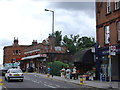
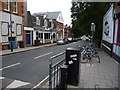
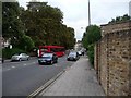
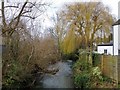
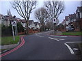

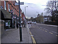
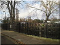
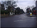

82 photos from this area
Area Information
Key information about the TW1 1RS including its size, population, and administrative classification.
- Area Type
- Postcode
- Area Size
- 7166 m²
- Population
- 1567
- Population Density
- 4970 people/km²
House Prices in TW1 1RS
33
Properties
£359,784
Average Sold Price
£96,000
Lowest Price
£540,000
Highest Price
Showing 33 properties
| Address | Type | Beds | Baths | Last Sale Price | Last Sale Date | |
|---|---|---|---|---|---|---|
| 4 Cumberland Close, Twickenham, TW1 1RS | Maisonette | 2 | 1 | £530,000 | Oct 2025 | |
| 29 Cumberland Close, Twickenham, TW1 1RS | Maisonette | 2 | 1 | £480,000 | Jun 2025 | |
| 5 Cumberland Close, Twickenham, TW1 1RS | Flat | 2 | 1 | £515,000 | Nov 2020 | |
| 15 Cumberland Close, Twickenham, TW1 1RS | Maisonette | - | - | £440,000 | Apr 2020 | |
| 16 Cumberland Close, Twickenham, TW1 1RS | Maisonette | 2 | 1 | £465,000 | Apr 2019 | |
| 7 Cumberland Close, Twickenham, TW1 1RS | Maisonette | 2 | 1 | £535,000 | Jul 2018 | |
| 9 Cumberland Close, Twickenham, TW1 1RS | Maisonette | 2 | - | £540,000 | Dec 2015 | |
| 32 Cumberland Close, Twickenham, TW1 1RS | Maisonette | 2 | 1 | £492,500 | Sep 2014 | |
| 17 Cumberland Close, Twickenham, TW1 1RS | Flat | - | - | £449,950 | Aug 2014 | |
| 13 Cumberland Close, Twickenham, TW1 1RS | house | - | - | £357,050 | Feb 2013 |
Page 1 of 4
Energy Efficiency in TW1 1RS
Amenities
Schools
| Rank | School | Type | Entry gender | Ages |
|---|
Explore more schools in this area
Go to Schools tabDemographics
Household Size
Family (3-5 people)
most common
Accommodation Type
Flats
most common
Tenure
57
majority
Ethnic Group
White
most common
Religion
N/A
most common
Household Composition
N/A
most common
Age
47
median
Adults (30-64 years)
most common
Household Deprivation
N/A
with no deprivation
NS-SEC
61
in Lower managerial occupations
Explore more demographic insights in this area
Go to Demographics tabPlanning
Planning Constraints
- Flood RiskPremium
- Ramsar Wetland SitesPremium
- Area of Outstanding Natural BeautyPremium
- Protected Nature ReservePremium
- Protected WoodlandPremium