Area Overview for TW1 1PA
Photos of TW1 1PA
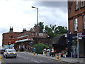
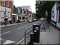
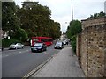
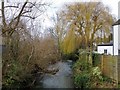
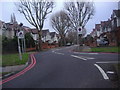
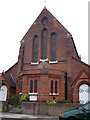
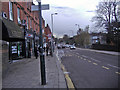
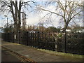
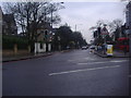

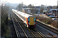
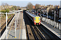
82 photos from this area
Area Information
Key information about the TW1 1PA including its size, population, and administrative classification.
- Area Type
- Postcode
- Area Size
- 8388 m²
- Population
- 1756
- Population Density
- 9132 people/km²
House Prices in TW1 1PA
47
Properties
£793,638
Average Sold Price
£115,000
Lowest Price
£1,375,000
Highest Price
Showing 47 properties
| Address | Type | Beds | Baths | Last Sale Price | Last Sale Date | |
|---|---|---|---|---|---|---|
| 68 Northcote Road, Twickenham, TW1 1PA | house | 4 | 3 | £1,250,000 | Mar 2025 | |
| 22 Northcote Road, Twickenham, TW1 1PA | Terraced | 5 | 2 | £1,375,000 | Jan 2025 | |
| 62A Northcote Road, Twickenham, TW1 1PA | Terraced | 4 | 2 | £912,500 | May 2021 | |
| 66 Northcote Road, Twickenham, TW1 1PA | Terraced | 4 | 2 | £995,000 | Dec 2020 | |
| 42 Northcote Road, Twickenham, TW1 1PA | Detached | 3 | 2 | £1,050,000 | Dec 2019 | |
| 46 Northcote Road, Twickenham, TW1 1PA | Detached | 3 | 1 | £875,000 | Apr 2019 | |
| 12 Northcote Road, Twickenham, TW1 1PA | Terraced | 4 | 2 | £940,000 | Sep 2018 | |
| 56 Northcote Road, Twickenham, TW1 1PA | house | - | - | £910,000 | Jun 2017 | |
| 52 Northcote Road, Twickenham, TW1 1PA | house | - | - | £1,000,000 | Jun 2017 | |
| 28 Northcote Road, Twickenham, TW1 1PA | Terraced | 4 | 2 | £1,270,000 | Jan 2017 |
Page 1 of 5
Energy Efficiency in TW1 1PA
Amenities
Schools
| Rank | School | Type | Entry gender | Ages |
|---|
Explore more schools in this area
Go to Schools tabDemographics
Household Size
Family (3-5 people)
most common
Accommodation Type
Houses
most common
Tenure
66
majority
Ethnic Group
White
most common
Religion
N/A
most common
Household Composition
N/A
most common
Age
47
median
Adults (30-64 years)
most common
Household Deprivation
N/A
with no deprivation
NS-SEC
60
in Lower managerial occupations
Explore more demographic insights in this area
Go to Demographics tabPlanning
Planning Constraints
- Flood RiskPremium
- Ramsar Wetland SitesPremium
- Area of Outstanding Natural BeautyPremium
- Protected Nature ReservePremium
- Protected WoodlandPremium