Area Overview for SW18 5HP
Photos of SW18 5HP

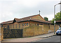

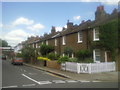

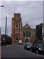

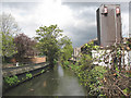
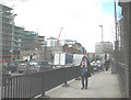
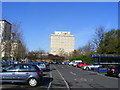
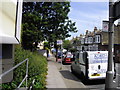
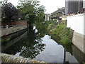
100 photos from this area
Area Information
Key information about the SW18 5HP including its size, population, and administrative classification.
- Area Type
- Postcode
- Area Size
- 2718 m²
- Population
- 2464
- Population Density
- 8097 people/km²
House Prices in SW18 5HP
19
Properties
£278,395
Average Sold Price
£19,500
Lowest Price
£829,510
Highest Price
Showing 19 properties
| Address | Type | Beds | Baths | Last Sale Price | Last Sale Date | |
|---|---|---|---|---|---|---|
| 32, The Limes, Limes Gardens, London, SW18 5HP | Flat | - | - | £415,000 | Jun 2024 | |
| 30, The Limes, Limes Gardens, London, SW18 5HP | Flat | - | - | £250,000 | Jan 2024 | |
| 28, The Limes, Limes Gardens, London, SW18 5HP | Flat | - | - | £400,000 | Sep 2019 | |
| 4, The Limes, Limes Gardens, London, SW18 5HP | Flat | 2 | - | £442,500 | Dec 2018 | |
| 2, The Limes, Limes Gardens, London, SW18 5HP | Flat | - | - | £829,510 | Nov 2018 | |
| 10, The Limes, Limes Gardens, London, SW18 5HP | Flat | - | - | £19,500 | Nov 2018 | |
| 12, The Limes, Limes Gardens, London, SW18 5HP | Flat | - | - | £31,500 | Nov 2018 | |
| 8, The Limes, Limes Gardens, London, SW18 5HP | Flat | 2 | 1 | £470,000 | May 2017 | |
| 26, The Limes, Limes Gardens, London, SW18 5HP | Flat | - | - | £310,000 | Mar 2016 | |
| 38, The Limes, Limes Gardens, London, SW18 5HP | Flat | - | - | £260,000 | Oct 2012 |
Page 1 of 2
Energy Efficiency in SW18 5HP
Amenities
Schools
| Rank | School | Type | Entry gender | Ages |
|---|
Explore more schools in this area
Go to Schools tabDemographics
Household Size
One person
most common
Accommodation Type
Flats
most common
Tenure
49
majority
Ethnic Group
White
most common
Religion
N/A
most common
Household Composition
N/A
most common
Age
47
median
Adults (30-64 years)
most common
Household Deprivation
N/A
with no deprivation
NS-SEC
53
in Lower managerial occupations
Explore more demographic insights in this area
Go to Demographics tabPlanning
Planning Constraints
- Flood RiskPremium
- Ramsar Wetland SitesPremium
- Area of Outstanding Natural BeautyPremium
- Protected Nature ReservePremium
- Protected WoodlandPremium