Area Overview for SW18 5HN
Photos of SW18 5HN
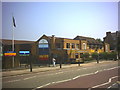
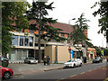


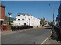
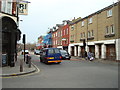
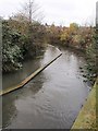
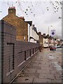
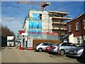
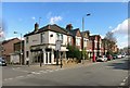
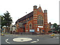
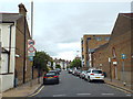
82 photos from this area
Area Information
Key information about the SW18 5HN including its size, population, and administrative classification.
- Area Type
- Postcode
- Area Size
- 3548 m²
- Population
- 2464
- Population Density
- 8097 people/km²
House Prices in SW18 5HN
11
Properties
£1,870,714
Average Sold Price
£1,165,000
Lowest Price
£2,300,000
Highest Price
Showing 11 properties
| Address | Type | Beds | Baths | Last Sale Price | Last Sale Date | |
|---|---|---|---|---|---|---|
| 127 West Hill Road, London, SW18 5HN | Semi-detached | 5 | 3 | £2,240,000 | May 2024 | |
| Former 119, West Hill Road, London, SW18 5HN | Flat | - | - | £1,930,000 | Aug 2021 | |
| 119 West Hill Road, London, SW18 5HN | Semi-detached | - | - | £1,930,000 | Aug 2021 | |
| 117 West Hill Road, London, SW18 5HN | house | - | - | £1,930,000 | Jan 2021 | |
| 129 West Hill Road, London, SW18 5HN | house | - | - | £2,300,000 | Jun 2018 | |
| 121 West Hill Road, London, SW18 5HN | Semi-detached | 5 | 3 | £1,600,000 | Dec 2014 | |
| 131 West Hill Road, London, SW18 5HN | Detached | 5 | - | £1,165,000 | May 2013 | |
| 125 West Hill Road, London, SW18 5HN | Flat | 3 | 2 | - | - | |
| 119A West Hill Road, London, SW18 5HN | Flat | 3 | 1 | - | - | |
| Maisonette Basement And Ground B, 123 West Hill Road, London, SW18 5HN | Maisonette | - | - | - | - |
Page 1 of 2
Energy Efficiency in SW18 5HN
Amenities
Schools
| Rank | School | Type | Entry gender | Ages |
|---|
Explore more schools in this area
Go to Schools tabDemographics
Household Size
One person
most common
Accommodation Type
Flats
most common
Tenure
49
majority
Ethnic Group
White
most common
Religion
N/A
most common
Household Composition
N/A
most common
Age
47
median
Adults (30-64 years)
most common
Household Deprivation
N/A
with no deprivation
NS-SEC
53
in Lower managerial occupations
Explore more demographic insights in this area
Go to Demographics tabPlanning
Planning Constraints
- Flood RiskPremium
- Ramsar Wetland SitesPremium
- Area of Outstanding Natural BeautyPremium
- Protected Nature ReservePremium
- Protected WoodlandPremium