Area Overview for SW18 5SW
Photos of SW18 5SW
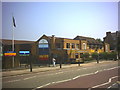
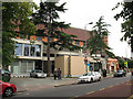


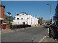
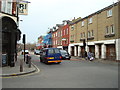
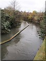
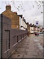
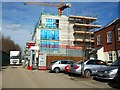
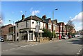
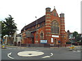
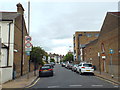
82 photos from this area
Area Information
Key information about the SW18 5SW including its size, population, and administrative classification.
- Area Type
- Postcode
- Area Size
- 5701 m²
- Population
- 2464
- Population Density
- 8097 people/km²
House Prices in SW18 5SW
34
Properties
£492,369
Average Sold Price
£170,000
Lowest Price
£879,000
Highest Price
Showing 34 properties
| Address | Type | Beds | Baths | Last Sale Price | Last Sale Date | |
|---|---|---|---|---|---|---|
| 182 Merton Road, London, SW18 5SW | Terraced | 3 | 2 | £879,000 | Jul 2025 | |
| 174 Merton Road, London, SW18 5SW | house | 3 | - | £780,000 | Aug 2017 | |
| 172 Merton Road, London, SW18 5SW | house | 2 | - | £500,000 | Oct 2015 | |
| 180 Merton Road, London, SW18 5SW | Terraced | 3 | - | £510,000 | Jun 2012 | |
| 178 Merton Road, London, SW18 5SW | Terraced | - | - | £350,000 | Jul 2006 | |
| 190 Merton Road, London, SW18 5SW | Terraced | - | - | £499,950 | Jul 2004 | |
| 184 Merton Road, London, SW18 5SW | Terraced | 3 | 2 | £250,000 | Aug 2003 | |
| 192 Merton Road, London, SW18 5SW | Terraced | - | - | £170,000 | Sep 1999 | |
| Flat B, 210 Merton Road, London, SW18 5SW | Flat | 3 | 2 | - | - | |
| Flat 2, 198 Merton Road, London, SW18 5SW | Flat | 2 | 1 | - | - |
Page 1 of 4
Energy Efficiency in SW18 5SW
Amenities
Schools
| Rank | School | Type | Entry gender | Ages |
|---|
Explore more schools in this area
Go to Schools tabDemographics
Household Size
One person
most common
Accommodation Type
Flats
most common
Tenure
49
majority
Ethnic Group
White
most common
Religion
N/A
most common
Household Composition
N/A
most common
Age
47
median
Adults (30-64 years)
most common
Household Deprivation
N/A
with no deprivation
NS-SEC
53
in Lower managerial occupations
Explore more demographic insights in this area
Go to Demographics tabPlanning
Planning Constraints
- Flood RiskPremium
- Ramsar Wetland SitesPremium
- Area of Outstanding Natural BeautyPremium
- Protected Nature ReservePremium
- Protected WoodlandPremium