Area Overview for SW16 5AB
Photos of SW16 5AB
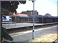
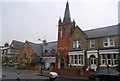
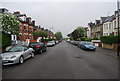
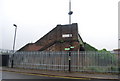
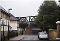
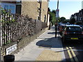
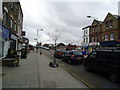
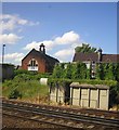
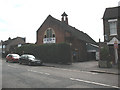
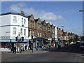
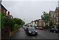
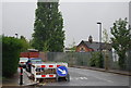
98 photos from this area
Area Information
Key information about the SW16 5AB including its size, population, and administrative classification.
- Area Type
- Postcode
- Area Size
- 6248 m²
- Population
- 1649
- Population Density
- 13461 people/km²
House Prices in SW16 5AB
30
Properties
£409,241
Average Sold Price
£64,000
Lowest Price
£775,000
Highest Price
Showing 30 properties
| Address | Type | Beds | Baths | Last Sale Price | Last Sale Date | |
|---|---|---|---|---|---|---|
| 1 Carnforth Road, London, SW16 5AB | Terraced | 4 | 1 | £775,000 | Dec 2024 | |
| 6 Carnforth Road, London, SW16 5AB | Terraced | 3 | 1 | £562,000 | Aug 2024 | |
| 11 Carnforth Road, London, SW16 5AB | Semi-detached | 3 | 1 | £605,000 | Jun 2023 | |
| 20 Carnforth Road, London, SW16 5AB | Terraced | 3 | 2 | £755,000 | May 2023 | |
| 21 Carnforth Road, London, SW16 5AB | Retail | 4 | 2 | £665,000 | Nov 2022 | |
| 16 Carnforth Road, London, SW16 5AB | Terraced | 4 | - | £618,000 | Sep 2021 | |
| 3 Carnforth Road, London, SW16 5AB | Terraced | 3 | 1 | £485,000 | Nov 2020 | |
| 30 Carnforth Road, London, SW16 5AB | Terraced | 3 | 1 | £548,854 | Dec 2016 | |
| 28 Carnforth Road, London, SW16 5AB | Terraced | - | - | £325,000 | Sep 2007 | |
| 22 Carnforth Road, London, SW16 5AB | Terraced | - | - | £223,501 | Jul 2006 |
Page 1 of 3
Energy Efficiency in SW16 5AB
Amenities
Schools
| Rank | School | Type | Entry gender | Ages |
|---|
Explore more schools in this area
Go to Schools tabDemographics
Household Size
Family (3-5 people)
most common
Accommodation Type
Houses
most common
Tenure
45
majority
Ethnic Group
White
most common
Religion
N/A
most common
Household Composition
N/A
most common
Age
47
median
Adults (30-64 years)
most common
Household Deprivation
N/A
with no deprivation
NS-SEC
35
in Lower managerial occupations
Explore more demographic insights in this area
Go to Demographics tabPlanning
Planning Constraints
- Flood RiskPremium
- Ramsar Wetland SitesPremium
- Area of Outstanding Natural BeautyPremium
- Protected Nature ReservePremium
- Protected WoodlandPremium