Area Overview for SW16 5AE
Photos of SW16 5AE
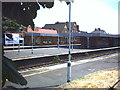
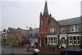
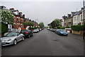
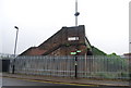
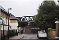
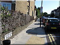
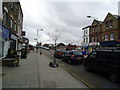
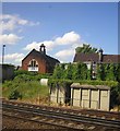
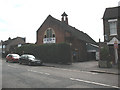
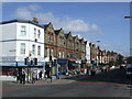
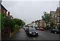
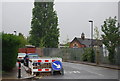
98 photos from this area
Area Information
Key information about the SW16 5AE including its size, population, and administrative classification.
- Area Type
- Postcode
- Area Size
- 7280 m²
- Population
- 1649
- Population Density
- 13461 people/km²
House Prices in SW16 5AE
37
Properties
£368,263
Average Sold Price
£64,000
Lowest Price
£700,000
Highest Price
Showing 37 properties
| Address | Type | Beds | Baths | Last Sale Price | Last Sale Date | |
|---|---|---|---|---|---|---|
| 47 Abercairn Road, London, SW16 5AE | Terraced | 3 | 1 | £700,000 | Nov 2024 | |
| 55 Abercairn Road, London, SW16 5AE | house | 3 | 1 | £580,000 | Jul 2024 | |
| 27 Abercairn Road, London, SW16 5AE | Terraced | 4 | 2 | £608,000 | Apr 2024 | |
| 53 Abercairn Road, London, SW16 5AE | Semi-detached | 3 | 1 | £655,000 | Mar 2023 | |
| 17 Abercairn Road, London, SW16 5AE | Terraced | 3 | 2 | £700,000 | Dec 2022 | |
| 49 Abercairn Road, London, SW16 5AE | Terraced | 3 | 1 | £350,000 | Sep 2021 | |
| 67 Abercairn Road, London, SW16 5AE | Flat | - | - | £410,000 | Jan 2021 | |
| 23 Abercairn Road, London, SW16 5AE | house | - | - | £560,000 | Dec 2020 | |
| 59 Abercairn Road, London, SW16 5AE | Terraced | 4 | 1 | £638,310 | Nov 2020 | |
| 45 Abercairn Road, London, SW16 5AE | house | - | - | £495,000 | Sep 2020 |
Page 1 of 4
Energy Efficiency in SW16 5AE
Amenities
Schools
| Rank | School | Type | Entry gender | Ages |
|---|
Explore more schools in this area
Go to Schools tabDemographics
Household Size
Family (3-5 people)
most common
Accommodation Type
Houses
most common
Tenure
45
majority
Ethnic Group
White
most common
Religion
N/A
most common
Household Composition
N/A
most common
Age
47
median
Adults (30-64 years)
most common
Household Deprivation
N/A
with no deprivation
NS-SEC
35
in Lower managerial occupations
Explore more demographic insights in this area
Go to Demographics tabPlanning
Planning Constraints
- Flood RiskPremium
- Ramsar Wetland SitesPremium
- Area of Outstanding Natural BeautyPremium
- Protected Nature ReservePremium
- Protected WoodlandPremium