Area Overview for SW16 5AZ
Photos of SW16 5AZ
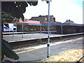
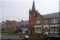
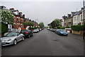
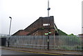
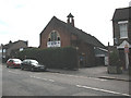
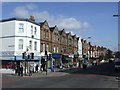
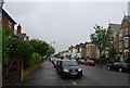
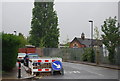
98 photos from this area
Area Information
Key information about the SW16 5AZ including its size, population, and administrative classification.
- Area Type
- Postcode
- Area Size
- 6535 m²
- Population
- 1649
- Population Density
- 13461 people/km²
House Prices in SW16 5AZ
35
Properties
£364,271
Average Sold Price
£57,000
Lowest Price
£725,000
Highest Price
Showing 35 properties
| Address | Type | Beds | Baths | Last Sale Price | Last Sale Date | |
|---|---|---|---|---|---|---|
| 50 Donnybrook Road, London, SW16 5AZ | Terraced | 4 | 3 | £675,000 | Mar 2025 | |
| 58 Donnybrook Road, London, SW16 5AZ | Terraced | 3 | 1 | £640,000 | Jan 2025 | |
| 60 Donnybrook Road, London, SW16 5AZ | Terraced | 4 | 2 | £725,000 | Jan 2025 | |
| 38 Donnybrook Road, London, SW16 5AZ | house | 3 | 1 | £300,000 | Dec 2024 | |
| 44 Donnybrook Road, London, SW16 5AZ | Terraced | 3 | 1 | £550,000 | Jul 2024 | |
| 70 Donnybrook Road, London, SW16 5AZ | Flat | 3 | - | £495,000 | Jun 2023 | |
| 32 Donnybrook Road, London, SW16 5AZ | house | - | - | £581,400 | Mar 2021 | |
| 66 Donnybrook Road, London, SW16 5AZ | Terraced | 3 | 1 | £638,210 | Jan 2021 | |
| 54 Donnybrook Road, London, SW16 5AZ | Terraced | 3 | 1 | £442,000 | Mar 2020 | |
| 42 Donnybrook Road, London, SW16 5AZ | Semi-detached | 4 | 1 | £274,000 | Jun 2008 |
Page 1 of 4
Energy Efficiency in SW16 5AZ
Amenities
Schools
| Rank | School | Type | Entry gender | Ages |
|---|
Explore more schools in this area
Go to Schools tabDemographics
Household Size
Family (3-5 people)
most common
Accommodation Type
Houses
most common
Tenure
45
majority
Ethnic Group
White
most common
Religion
N/A
most common
Household Composition
N/A
most common
Age
47
median
Adults (30-64 years)
most common
Household Deprivation
N/A
with no deprivation
NS-SEC
35
in Lower managerial occupations
Explore more demographic insights in this area
Go to Demographics tabPlanning
Planning Constraints
- Flood RiskPremium
- Ramsar Wetland SitesPremium
- Area of Outstanding Natural BeautyPremium
- Protected Nature ReservePremium
- Protected WoodlandPremium