Area Overview for SW12 9NL
Photos of SW12 9NL
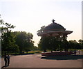
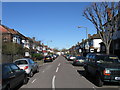
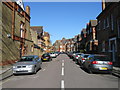
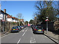
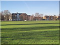
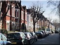
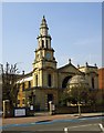
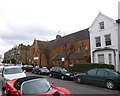
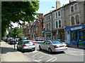
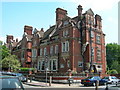
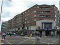
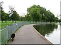
100 photos from this area
Area Information
Key information about the SW12 9NL including its size, population, and administrative classification.
- Area Type
- Postcode
- Area Size
- 5963 m²
- Population
- 1721
- Population Density
- 21812 people/km²
House Prices in SW12 9NL
51
Properties
£752,308
Average Sold Price
£165,000
Lowest Price
£1,382,000
Highest Price
Showing 51 properties
| Address | Type | Beds | Baths | Last Sale Price | Last Sale Date | |
|---|---|---|---|---|---|---|
| 16 Gaskarth Road, London, SW12 9NL | Terraced | 5 | 5 | £1,175,000 | Mar 2021 | |
| 58 Gaskarth Road, London, SW12 9NL | Terraced | 4 | 2 | £1,240,000 | Jul 2020 | |
| 20 Gaskarth Road, London, SW12 9NL | Terraced | 4 | - | £1,178,000 | Dec 2019 | |
| 26 Gaskarth Road, London, SW12 9NL | Terraced | 4 | 2 | £1,125,000 | Nov 2018 | |
| 4 Gaskarth Road, London, SW12 9NL | Terraced | 5 | 3 | £1,382,000 | Apr 2016 | |
| 72 Gaskarth Road, London, SW12 9NL | Terraced | 5 | 3 | £980,000 | Mar 2016 | |
| 10 Gaskarth Road, London, SW12 9NL | Terraced | 5 | 2 | £1,330,000 | Feb 2014 | |
| 2B Gaskarth Road, London, SW12 9NL | Flat | 2 | 1 | £293,500 | Dec 2013 | |
| 56 Gaskarth Road, London, SW12 9NL | house | 4 | - | £1,100,000 | Dec 2013 | |
| 68 Gaskarth Road, London, SW12 9NL | Terraced | 5 | 3 | £630,000 | Aug 2011 |
Page 1 of 6
Energy Efficiency in SW12 9NL
Amenities
Schools
| Rank | School | Type | Entry gender | Ages |
|---|
Explore more schools in this area
Go to Schools tabDemographics
Household Size
Family (3-5 people)
most common
Accommodation Type
Flats
most common
Tenure
51
majority
Ethnic Group
White
most common
Religion
N/A
most common
Household Composition
N/A
most common
Age
22
median
Young Adults (15-29 years)
most common
Household Deprivation
N/A
with no deprivation
NS-SEC
72
in Lower managerial occupations
Explore more demographic insights in this area
Go to Demographics tabPlanning
Planning Constraints
- Flood RiskPremium
- Ramsar Wetland SitesPremium
- Area of Outstanding Natural BeautyPremium
- Protected Nature ReservePremium
- Protected WoodlandPremium