Area Overview for SM5 2SB
Photos of SM5 2SB
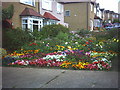
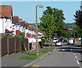
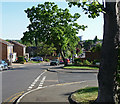
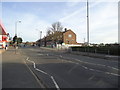
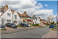
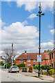
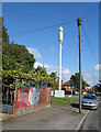
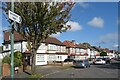
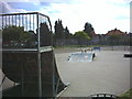
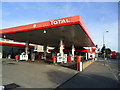
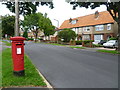
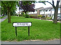
40 photos from this area
Area Information
Key information about the SM5 2SB including its size, population, and administrative classification.
- Area Type
- Postcode
- Area Size
- 1.0 hectares
- Population
- 1844
- Population Density
- 8952 people/km²
House Prices in SM5 2SB
34
Properties
£210,190
Average Sold Price
£34,000
Lowest Price
£350,000
Highest Price
Showing 34 properties
| Address | Type | Beds | Baths | Last Sale Price | Last Sale Date | |
|---|---|---|---|---|---|---|
| 124 Wrythe Lane, Carshalton, SM5 2SB | Maisonette | 3 | 1 | £265,000 | Jun 2024 | |
| 120 Wrythe Lane, Carshalton, SM5 2SB | Maisonette | - | - | £255,000 | Jan 2024 | |
| 150 Wrythe Lane, Carshalton, SM5 2SB | house | - | - | £350,000 | Dec 2018 | |
| 128 Wrythe Lane, Carshalton, SM5 2SB | Maisonette | - | - | £242,000 | May 2018 | |
| 114 Wrythe Lane, Carshalton, SM5 2SB | Flat | - | - | £217,500 | Sep 2017 | |
| 138 Wrythe Lane, Carshalton, SM5 2SB | Flat | 1 | 1 | £215,500 | Jun 2017 | |
| 136 Wrythe Lane, Carshalton, SM5 2SB | Flat | - | - | £250,000 | Jan 2017 | |
| 142 Wrythe Lane, Carshalton, SM5 2SB | Flat | - | - | £129,950 | Mar 2005 | |
| 132 Wrythe Lane, Carshalton, SM5 2SB | Flat | 2 | 1 | £142,950 | Dec 2004 | |
| 126 Wrythe Lane, Carshalton, SM5 2SB | Flat | - | - | £34,000 | Aug 1997 |
Page 1 of 4
Energy Efficiency in SM5 2SB
Amenities
Schools
| Rank | School | Type | Entry gender | Ages |
|---|
Explore more schools in this area
Go to Schools tabDemographics
Household Size
Family (3-5 people)
most common
Accommodation Type
Houses
most common
Tenure
62
majority
Ethnic Group
White
most common
Religion
N/A
most common
Household Composition
N/A
most common
Age
47
median
Adults (30-64 years)
most common
Household Deprivation
N/A
with no deprivation
NS-SEC
29
in Lower managerial occupations
Explore more demographic insights in this area
Go to Demographics tabPlanning
Planning Constraints
- Flood RiskPremium
- Ramsar Wetland SitesPremium
- Area of Outstanding Natural BeautyPremium
- Protected Nature ReservePremium
- Protected WoodlandPremium