Area Overview for SM5 1TU
Photos of SM5 1TU
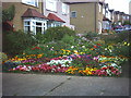
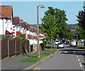
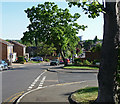
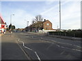
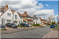
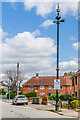
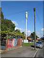
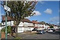
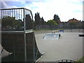
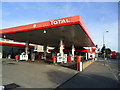
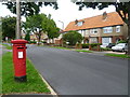
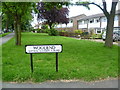
40 photos from this area
Area Information
Key information about the SM5 1TU including its size, population, and administrative classification.
- Area Type
- Postcode
- Area Size
- 7764 m²
- Population
- 1844
- Population Density
- 8952 people/km²
House Prices in SM5 1TU
24
Properties
£192,627
Average Sold Price
£59,950
Lowest Price
£375,000
Highest Price
Showing 24 properties
| Address | Type | Beds | Baths | Last Sale Price | Last Sale Date | |
|---|---|---|---|---|---|---|
| 182 Wrythe Lane, Carshalton, SM5 1TU | Terraced | 3 | 1 | £375,000 | Oct 2023 | |
| 192 Wrythe Lane, Carshalton, SM5 1TU | Terraced | 2 | 1 | £365,000 | Jul 2023 | |
| 180 Wrythe Lane, Carshalton, SM5 1TU | Terraced | 3 | 1 | £325,000 | May 2019 | |
| 178 Wrythe Lane, Carshalton, SM5 1TU | Terraced | 3 | - | £195,000 | Dec 2010 | |
| 196A Wrythe Lane, Carshalton, SM5 1TU | Flat | 1 | - | £130,000 | Jun 2008 | |
| 166 Wrythe Lane, Carshalton, SM5 1TU | Terraced | 3 | - | £178,000 | Dec 2005 | |
| 174 Wrythe Lane, Carshalton, SM5 1TU | Terraced | - | - | £165,000 | Jan 2004 | |
| 170 Wrythe Lane, Carshalton, SM5 1TU | Terraced | 3 | - | £145,500 | May 2002 | |
| 176 Wrythe Lane, Carshalton, SM5 1TU | Terraced | 3 | 1 | £111,950 | Apr 2000 | |
| 168 Wrythe Lane, Carshalton, SM5 1TU | Terraced | - | - | £68,500 | Apr 1997 |
Page 1 of 3
Energy Efficiency in SM5 1TU
Amenities
Schools
| Rank | School | Type | Entry gender | Ages |
|---|
Explore more schools in this area
Go to Schools tabDemographics
Household Size
Family (3-5 people)
most common
Accommodation Type
Houses
most common
Tenure
62
majority
Ethnic Group
White
most common
Religion
N/A
most common
Household Composition
N/A
most common
Age
47
median
Adults (30-64 years)
most common
Household Deprivation
N/A
with no deprivation
NS-SEC
29
in Lower managerial occupations
Explore more demographic insights in this area
Go to Demographics tabPlanning
Planning Constraints
- Flood RiskPremium
- Ramsar Wetland SitesPremium
- Area of Outstanding Natural BeautyPremium
- Protected Nature ReservePremium
- Protected WoodlandPremium