Area Overview for SM1 3EX
Photos of SM1 3EX
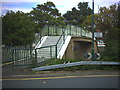
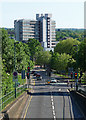
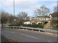
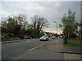
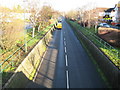
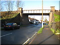
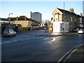
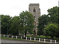
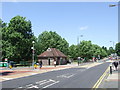
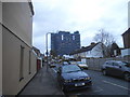
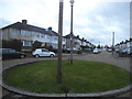
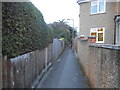
64 photos from this area
Area Information
Key information about the SM1 3EX including its size, population, and administrative classification.
- Area Type
- Postcode
- Area Size
- 6866 m²
- Population
- 1770
- Population Density
- 4349 people/km²
House Prices in SM1 3EX
19
Properties
£342,038
Average Sold Price
£80,000
Lowest Price
£755,000
Highest Price
Showing 19 properties
| Address | Type | Beds | Baths | Last Sale Price | Last Sale Date | |
|---|---|---|---|---|---|---|
| 68 Rose Hill, Sutton, SM1 3EX | Semi-detached | 4 | 2 | £435,000 | Jan 2023 | |
| 72 Rose Hill, Sutton, SM1 3EX | Terraced | 4 | 2 | £455,000 | Dec 2022 | |
| 56 Rose Hill, Sutton, SM1 3EX | house | - | - | £755,000 | Sep 2021 | |
| 74 Rose Hill, Sutton, SM1 3EX | Terraced | 4 | 2 | £415,000 | Mar 2020 | |
| 100 Rose Hill, Sutton, SM1 3EX | Semi-detached | 4 | 2 | £547,500 | Mar 2018 | |
| 98 Rose Hill, Sutton, SM1 3EX | house | - | - | £395,000 | Sep 2015 | |
| 96 Rose Hill, Sutton, SM1 3EX | Semi-detached | 3 | 1 | £335,000 | Jan 2014 | |
| 60 Rose Hill, Sutton, SM1 3EX | Flat | - | - | £203,000 | May 2008 | |
| 58 Rose Hill, Sutton, SM1 3EX | Maisonette | - | - | £174,000 | Jul 2006 | |
| 52 Rose Hill, Sutton, SM1 3EX | Detached | 3 | 1 | £380,000 | May 2004 |
Page 1 of 2
Energy Efficiency in SM1 3EX
Amenities
Schools
| Rank | School | Type | Entry gender | Ages |
|---|
Explore more schools in this area
Go to Schools tabDemographics
Household Size
Family (3-5 people)
most common
Accommodation Type
Houses
most common
Tenure
83
majority
Ethnic Group
White
most common
Religion
N/A
most common
Household Composition
N/A
most common
Age
47
median
Adults (30-64 years)
most common
Household Deprivation
N/A
with no deprivation
NS-SEC
40
in Lower managerial occupations
Explore more demographic insights in this area
Go to Demographics tabPlanning
Planning Constraints
- Flood RiskPremium
- Ramsar Wetland SitesPremium
- Area of Outstanding Natural BeautyPremium
- Protected Nature ReservePremium
- Protected WoodlandPremium