Area Overview for SE9 5EJ
Photos of SE9 5EJ
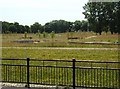
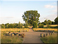
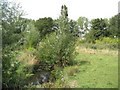
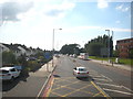
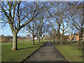
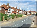
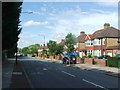
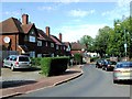
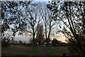
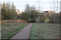
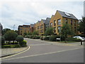
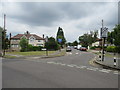
100 photos from this area
Area Information
Key information about the SE9 5EJ including its size, population, and administrative classification.
- Area Type
- Postcode
- Area Size
- 2.0 hectares
- Population
- 1664
- Population Density
- 3657 people/km²
House Prices in SE9 5EJ
32
Properties
£197,450
Average Sold Price
£63,000
Lowest Price
£322,000
Highest Price
Showing 32 properties
| Address | Type | Beds | Baths | Last Sale Price | Last Sale Date | |
|---|---|---|---|---|---|---|
| 56 Queenscroft Road, Eltham, SE9 5EJ | Flat | - | - | £290,000 | Oct 2020 | |
| 58 Queenscroft Road, Eltham, SE9 5EJ | Flat | - | - | £322,000 | Mar 2020 | |
| 70 Queenscroft Road, Eltham, SE9 5EJ | Flat | 2 | 1 | £285,000 | Dec 2019 | |
| 66 Queenscroft Road, Eltham, SE9 5EJ | Maisonette | 2 | 1 | £285,000 | Jun 2017 | |
| 76 Queenscroft Road, Eltham, SE9 5EJ | Flat | - | - | £63,000 | Sep 2013 | |
| 46 Queenscroft Road, Eltham, SE9 5EJ | Maisonette | 2 | 1 | £136,500 | Oct 2009 | |
| 86 Queenscroft Road, Eltham, SE9 5EJ | Maisonette | - | - | £164,995 | Feb 2007 | |
| 98 Queenscroft Road, Eltham, SE9 5EJ | Flat | - | - | £147,500 | Jul 2006 | |
| 78 Queenscroft Road, Eltham, SE9 5EJ | house | 3 | 1 | £123,000 | Nov 2002 | |
| 94 Queenscroft Road, Eltham, SE9 5EJ | Terraced | 4 | 2 | £157,500 | Aug 2002 |
Page 1 of 4
Energy Efficiency in SE9 5EJ
Amenities
Schools
| Rank | School | Type | Entry gender | Ages |
|---|
Explore more schools in this area
Go to Schools tabDemographics
Household Size
Family (3-5 people)
most common
Accommodation Type
Houses
most common
Tenure
54
majority
Ethnic Group
White
most common
Religion
N/A
most common
Household Composition
N/A
most common
Age
47
median
Adults (30-64 years)
most common
Household Deprivation
N/A
with no deprivation
NS-SEC
27
in Lower managerial occupations
Explore more demographic insights in this area
Go to Demographics tabPlanning
Planning Constraints
- Flood RiskPremium
- Ramsar Wetland SitesPremium
- Area of Outstanding Natural BeautyPremium
- Protected Nature ReservePremium
- Protected WoodlandPremium