Area Overview for SE9 5EG
Photos of SE9 5EG
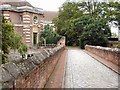
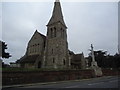
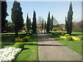
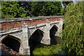


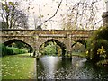
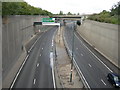
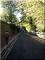
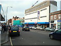
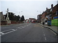
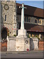
100 photos from this area
Area Information
Key information about the SE9 5EG including its size, population, and administrative classification.
- Area Type
- Postcode
- Area Size
- 5.8 hectares
- Population
- 1664
- Population Density
- 3657 people/km²
House Prices in SE9 5EG
24
Properties
£275,317
Average Sold Price
£72,000
Lowest Price
£440,000
Highest Price
Showing 24 properties
| Address | Type | Beds | Baths | Last Sale Price | Last Sale Date | |
|---|---|---|---|---|---|---|
| 41 Queenscroft Road, Eltham, SE9 5EG | Terraced | 2 | 1 | £370,000 | Mar 2025 | |
| 35 Queenscroft Road, Eltham, SE9 5EG | Terraced | 2 | 1 | £440,000 | Mar 2021 | |
| 7 Queenscroft Road, Eltham, SE9 5EG | Terraced | 2 | 1 | £375,000 | Mar 2021 | |
| 5 Queenscroft Road, Eltham, SE9 5EG | house | - | - | £362,000 | Feb 2021 | |
| 39 Queenscroft Road, Eltham, SE9 5EG | Terraced | 2 | 1 | £377,000 | Dec 2020 | |
| 29 Queenscroft Road, Eltham, SE9 5EG | Terraced | 2 | 1 | £315,000 | Mar 2020 | |
| 43 Queenscroft Road, Eltham, SE9 5EG | Terraced | 2 | 1 | £358,000 | Sep 2018 | |
| 1 Queenscroft Road, Eltham, SE9 5EG | Semi-detached | 3 | 1 | £325,000 | Mar 2018 | |
| 47 Queenscroft Road, Eltham, SE9 5EG | Semi-detached | 3 | - | £425,000 | Dec 2015 | |
| 21 Queenscroft Road, Eltham, SE9 5EG | Terraced | 2 | - | £215,000 | Oct 2013 |
Page 1 of 3
Energy Efficiency in SE9 5EG
Amenities
Schools
| Rank | School | Type | Entry gender | Ages |
|---|
Explore more schools in this area
Go to Schools tabDemographics
Household Size
Family (3-5 people)
most common
Accommodation Type
Houses
most common
Tenure
54
majority
Ethnic Group
White
most common
Religion
N/A
most common
Household Composition
N/A
most common
Age
47
median
Adults (30-64 years)
most common
Household Deprivation
N/A
with no deprivation
NS-SEC
27
in Lower managerial occupations
Explore more demographic insights in this area
Go to Demographics tabPlanning
Planning Constraints
- Flood RiskPremium
- Ramsar Wetland SitesPremium
- Area of Outstanding Natural BeautyPremium
- Protected Nature ReservePremium
- Protected WoodlandPremium