Area Overview for SE9 2PE
Photos of SE9 2PE
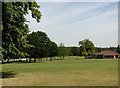
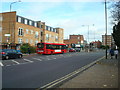
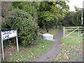
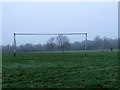
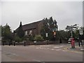
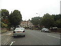
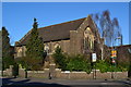
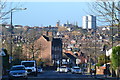
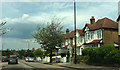
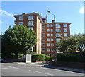
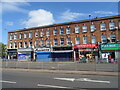
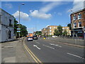
64 photos from this area
Area Information
Key information about the SE9 2PE including its size, population, and administrative classification.
- Area Type
- Postcode
- Area Size
- 12.1 hectares
- Population
- 1753
- Population Density
- 2399 people/km²
House Prices in SE9 2PE
21
Properties
£417,750
Average Sold Price
£150,000
Lowest Price
£810,000
Highest Price
Showing 21 properties
| Address | Type | Beds | Baths | Last Sale Price | Last Sale Date | |
|---|---|---|---|---|---|---|
| 41 Bexley Road, Eltham, SE9 2PE | Detached | 3 | 2 | £775,000 | May 2024 | |
| 53 Bexley Road, Eltham, SE9 2PE | Detached | 5 | 1 | £810,000 | Jun 2021 | |
| 40 Bexley Road, Eltham, SE9 2PE | Maisonette | 2 | 1 | £310,000 | Jun 2020 | |
| 46 Bexley Road, Eltham, SE9 2PE | Maisonette | 2 | 1 | £290,000 | Apr 2020 | |
| 39 Bexley Road, Eltham, SE9 2PE | Detached | 3 | 1 | £630,000 | Apr 2019 | |
| 42 Bexley Road, Eltham, SE9 2PE | Maisonette | 2 | 1 | £171,000 | Nov 2011 | |
| 45 Bexley Road, Eltham, SE9 2PE | house | - | - | £582,500 | Oct 2010 | |
| 48 Bexley Road, Eltham, SE9 2PE | Terraced | - | 1 | £189,995 | Aug 2007 | |
| 44 Bexley Road, Eltham, SE9 2PE | Flat | - | - | £150,000 | Jan 2007 | |
| 51 Bexley Road, Eltham, SE9 2PE | house | - | - | £595,000 | Oct 2006 |
Page 1 of 3
Energy Efficiency in SE9 2PE
Amenities
Schools
| Rank | School | Type | Entry gender | Ages |
|---|
Explore more schools in this area
Go to Schools tabDemographics
Household Size
One person
most common
Accommodation Type
Flats
most common
Tenure
53
majority
Ethnic Group
White
most common
Religion
N/A
most common
Household Composition
N/A
most common
Age
47
median
Adults (30-64 years)
most common
Household Deprivation
N/A
with no deprivation
NS-SEC
37
in Lower managerial occupations
Explore more demographic insights in this area
Go to Demographics tabPlanning
Planning Constraints
- Flood RiskPremium
- Ramsar Wetland SitesPremium
- Area of Outstanding Natural BeautyPremium
- Protected Nature ReservePremium
- Protected WoodlandPremium