Area Overview for SE9 2RB
Photos of SE9 2RB
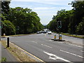
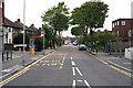
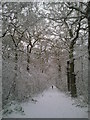
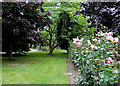
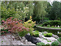
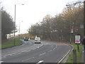
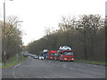
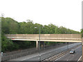
100 photos from this area
Area Information
Key information about the SE9 2RB including its size, population, and administrative classification.
- Area Type
- Postcode
- Area Size
- 14.9 hectares
- Population
- 1493
- Population Density
- 1691 people/km²
House Prices in SE9 2RB
37
Properties
£574,616
Average Sold Price
£121,350
Lowest Price
£1,100,000
Highest Price
Showing 37 properties
| Address | Type | Beds | Baths | Last Sale Price | Last Sale Date | |
|---|---|---|---|---|---|---|
| 83 Riefield Road, Eltham, SE9 2RB | Detached | 4 | 1 | £860,000 | Mar 2025 | |
| 97 Riefield Road, Eltham, SE9 2RB | Semi-detached | 4 | 2 | £900,000 | Jan 2025 | |
| 73 Riefield Road, Eltham, SE9 2RB | house | 5 | 2 | £1,100,000 | Dec 2022 | |
| 77 Riefield Road, Eltham, SE9 2RB | house | - | - | £805,000 | Feb 2022 | |
| 121 Riefield Road, Eltham, SE9 2RB | Semi-detached | 3 | 1 | £485,000 | Jan 2022 | |
| 101 Riefield Road, Eltham, SE9 2RB | house | - | - | £815,000 | Nov 2021 | |
| 91 Riefield Road, Eltham, SE9 2RB | house | - | - | £775,000 | Apr 2018 | |
| 99 Riefield Road, Eltham, SE9 2RB | house | - | - | £690,000 | Dec 2015 | |
| 93 Riefield Road, Eltham, SE9 2RB | Detached | 4 | 2 | £800,000 | Oct 2014 | |
| 103 Riefield Road, Eltham, SE9 2RB | Semi-detached | - | - | £427,000 | Aug 2007 |
Page 1 of 4
Energy Efficiency in SE9 2RB
Amenities
Schools
| Rank | School | Type | Entry gender | Ages |
|---|
Explore more schools in this area
Go to Schools tabDemographics
Household Size
Family (3-5 people)
most common
Accommodation Type
Houses
most common
Tenure
89
majority
Ethnic Group
White
most common
Religion
N/A
most common
Household Composition
N/A
most common
Age
47
median
Adults (30-64 years)
most common
Household Deprivation
N/A
with no deprivation
NS-SEC
45
in Lower managerial occupations
Explore more demographic insights in this area
Go to Demographics tabPlanning
Planning Constraints
- Flood RiskPremium
- Ramsar Wetland SitesPremium
- Area of Outstanding Natural BeautyPremium
- Protected Nature ReservePremium
- Protected WoodlandPremium