Area Overview for SE9 1AL
Photos of SE9 1AL
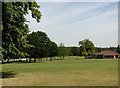
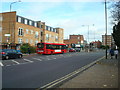
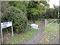
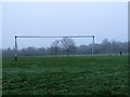
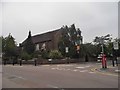
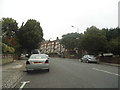
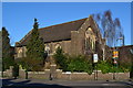
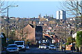
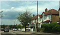
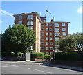
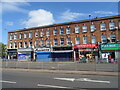
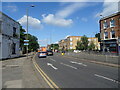
64 photos from this area
Area Information
Key information about the SE9 1AL including its size, population, and administrative classification.
- Area Type
- Postcode
- Area Size
- 1.2 hectares
- Population
- 1444
- Population Density
- 3061 people/km²
House Prices in SE9 1AL
26
Properties
£586,433
Average Sold Price
£249,995
Lowest Price
£1,075,000
Highest Price
Showing 26 properties
| Address | Type | Beds | Baths | Last Sale Price | Last Sale Date | |
|---|---|---|---|---|---|---|
| 25 Glenlyon Road, Eltham, SE9 1AL | Semi-detached | 3 | 3 | £1,075,000 | Mar 2023 | |
| 35 Glenlyon Road, Eltham, SE9 1AL | house | - | - | £950,000 | Nov 2020 | |
| 39 Glenlyon Road, Eltham, SE9 1AL | Semi-detached | 4 | 1 | £915,000 | Aug 2020 | |
| 7 Glenlyon Road, Eltham, SE9 1AL | Semi-detached | 3 | 1 | £710,000 | Jul 2020 | |
| 31 Glenlyon Road, Eltham, SE9 1AL | house | 4 | 1 | £832,500 | Dec 2017 | |
| 11 Glenlyon Road, Eltham, SE9 1AL | Semi-detached | 3 | 1 | £512,500 | Nov 2016 | |
| 15 Glenlyon Road, Eltham, SE9 1AL | Semi-detached | 5 | - | £392,000 | May 2013 | |
| 21 Glenlyon Road, Eltham, SE9 1AL | house | 3 | - | £545,000 | Jun 2012 | |
| 41 Glenlyon Road, Eltham, SE9 1AL | house | - | - | £495,000 | Mar 2010 | |
| 27 Glenlyon Road, Eltham, SE9 1AL | house | - | - | £400,000 | Aug 2009 |
Page 1 of 3
Energy Efficiency in SE9 1AL
Amenities
Schools
| Rank | School | Type | Entry gender | Ages |
|---|
Explore more schools in this area
Go to Schools tabDemographics
Household Size
Family (3-5 people)
most common
Accommodation Type
Houses
most common
Tenure
75
majority
Ethnic Group
White
most common
Religion
N/A
most common
Household Composition
N/A
most common
Age
47
median
Adults (30-64 years)
most common
Household Deprivation
N/A
with no deprivation
NS-SEC
51
in Lower managerial occupations
Explore more demographic insights in this area
Go to Demographics tabPlanning
Planning Constraints
- Flood RiskPremium
- Ramsar Wetland SitesPremium
- Area of Outstanding Natural BeautyPremium
- Protected Nature ReservePremium
- Protected WoodlandPremium