Area Overview for SE9 1AG
Photos of SE9 1AG
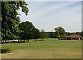
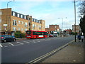
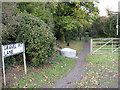
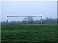
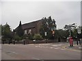
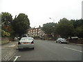
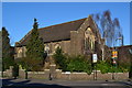
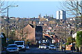
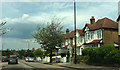
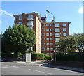
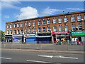
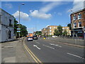
64 photos from this area
Area Information
Key information about the SE9 1AG including its size, population, and administrative classification.
- Area Type
- Postcode
- Area Size
- 7.4 hectares
- Population
- 1444
- Population Density
- 3061 people/km²
House Prices in SE9 1AG
44
Properties
£855,054
Average Sold Price
£124,000
Lowest Price
£2,000,000
Highest Price
Showing 44 properties
| Address | Type | Beds | Baths | Last Sale Price | Last Sale Date | |
|---|---|---|---|---|---|---|
| 35 Glenesk Road, Eltham, SE9 1AG | Detached | 5 | 2 | £1,805,000 | Dec 2025 | |
| 14 Glenesk Road, Eltham, SE9 1AG | Detached | 5 | 2 | £1,280,000 | May 2024 | |
| Thornbury, Glenesk Road, Eltham, SE9 1AG | house | 4 | - | £2,000,000 | Sep 2022 | |
| 15 Glenesk Road, Eltham, SE9 1AG | Semi-detached | 3 | 1 | £1,610,000 | Sep 2021 | |
| 7 Glenesk Road, Eltham, SE9 1AG | Detached | 4 | - | £1,020,000 | Mar 2021 | |
| 21 Glenesk Road, Eltham, SE9 1AG | Detached | 6 | 2 | £1,200,000 | Sep 2020 | |
| 11 Glenesk Road, Eltham, SE9 1AG | Detached | 7 | 4 | £1,450,000 | Dec 2018 | |
| 1 Glenesk Road, Eltham, SE9 1AG | Detached | 5 | 3 | £935,000 | Dec 2017 | |
| 3 Glenesk Road, Eltham, SE9 1AG | Detached | 4 | 1 | £760,000 | Oct 2017 | |
| 8 Glenesk Road, Eltham, SE9 1AG | Detached | 5 | - | £875,000 | May 2017 |
Page 1 of 5
Energy Efficiency in SE9 1AG
Amenities
Schools
| Rank | School | Type | Entry gender | Ages |
|---|
Explore more schools in this area
Go to Schools tabDemographics
Household Size
Family (3-5 people)
most common
Accommodation Type
Houses
most common
Tenure
75
majority
Ethnic Group
White
most common
Religion
N/A
most common
Household Composition
N/A
most common
Age
47
median
Adults (30-64 years)
most common
Household Deprivation
N/A
with no deprivation
NS-SEC
51
in Lower managerial occupations
Explore more demographic insights in this area
Go to Demographics tabPlanning
Planning Constraints
- Flood RiskPremium
- Ramsar Wetland SitesPremium
- Area of Outstanding Natural BeautyPremium
- Protected Nature ReservePremium
- Protected WoodlandPremium