Area Overview for SE25 6UZ
Photos of SE25 6UZ
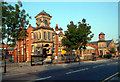
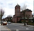
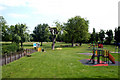
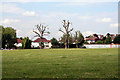
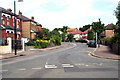
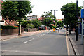
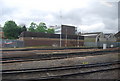
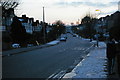
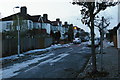
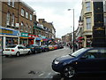
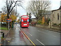
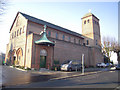
100 photos from this area
Area Information
Key information about the SE25 6UZ including its size, population, and administrative classification.
- Area Type
- Postcode
- Area Size
- 5623 m²
- Population
- 1699
- Population Density
- 9214 people/km²
House Prices in SE25 6UZ
23
Properties
£293,908
Average Sold Price
£64,000
Lowest Price
£577,000
Highest Price
Showing 23 properties
| Address | Type | Beds | Baths | Last Sale Price | Last Sale Date | |
|---|---|---|---|---|---|---|
| 31 Holmewood Road, South Norwood, London, SE25 6UZ | Terraced | 3 | 3 | £565,000 | Feb 2023 | |
| 7 Holmewood Road, South Norwood, London, SE25 6UZ | house | - | - | £460,000 | Nov 2021 | |
| 35 Holmewood Road, South Norwood, London, SE25 6UZ | Terraced | 3 | - | £577,000 | Mar 2021 | |
| 5 Holmewood Road, South Norwood, London, SE25 6UZ | Terraced | 3 | 2 | £500,000 | Apr 2019 | |
| 37 Holmewood Road, South Norwood, London, SE25 6UZ | Terraced | 3 | - | £260,000 | Oct 2013 | |
| 21 Holmewood Road, South Norwood, London, SE25 6UZ | Terraced | 2 | 1 | £229,000 | Apr 2007 | |
| 15 Holmewood Road, South Norwood, London, SE25 6UZ | Terraced | - | - | £210,000 | Sep 2005 | |
| 25 Holmewood Road, South Norwood, London, SE25 6UZ | Terraced | - | - | £210,000 | Mar 2005 | |
| 11 Holmewood Road, South Norwood, London, SE25 6UZ | Terraced | - | - | £240,000 | Mar 2005 | |
| 19 Holmewood Road, South Norwood, London, SE25 6UZ | house | - | - | £125,000 | Aug 2001 |
Page 1 of 3
Energy Efficiency in SE25 6UZ
Amenities
Schools
| Rank | School | Type | Entry gender | Ages |
|---|
Explore more schools in this area
Go to Schools tabDemographics
Household Size
Family (3-5 people)
most common
Accommodation Type
Houses
most common
Tenure
66
majority
Ethnic Group
White
most common
Religion
N/A
most common
Household Composition
N/A
most common
Age
47
median
Adults (30-64 years)
most common
Household Deprivation
N/A
with no deprivation
NS-SEC
42
in Lower managerial occupations
Explore more demographic insights in this area
Go to Demographics tabPlanning
Planning Constraints
- Flood RiskPremium
- Ramsar Wetland SitesPremium
- Area of Outstanding Natural BeautyPremium
- Protected Nature ReservePremium
- Protected WoodlandPremium