Area Overview for SE22 9EU
Photos of SE22 9EU
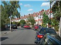

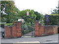
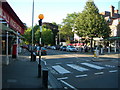
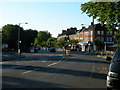
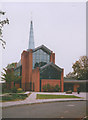
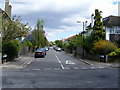
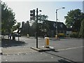
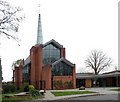
100 photos from this area
Area Information
Key information about the SE22 9EU including its size, population, and administrative classification.
- Area Type
- Postcode
- Area Size
- 4472 m²
- Population
- 2016
- Population Density
- 9946 people/km²
House Prices in SE22 9EU
47
Properties
£914,375
Average Sold Price
£105,000
Lowest Price
£1,485,000
Highest Price
Showing 47 properties
| Address | Type | Beds | Baths | Last Sale Price | Last Sale Date | |
|---|---|---|---|---|---|---|
| 50 North Cross Road, London, SE22 9EU | Bungalow | 2 | 2 | £840,000 | May 2025 | |
| 28 North Cross Road, London, SE22 9EU | house | - | - | £850,000 | Mar 2025 | |
| 40 North Cross Road, London, SE22 9EU | Terraced | 5 | 3 | £1,485,000 | Jan 2025 | |
| 24 North Cross Road, London, SE22 9EU | Terraced | 4 | 4 | £1,400,000 | Apr 2023 | |
| 32 North Cross Road, London, SE22 9EU | Terraced | 3 | 1 | £1,195,000 | Oct 2022 | |
| 26 North Cross Road, London, SE22 9EU | Terraced | 3 | 3 | £1,300,000 | Jul 2019 | |
| 14A North Cross Road, London, SE22 9EU | Flat | 4 | 4 | £140,000 | Feb 2008 | |
| 8A North Cross Road, London, SE22 9EU | Maisonette | 2 | 1 | £105,000 | Jun 1998 | |
| 10A North Cross Road, London, SE22 9EU | Flat | 2 | 1 | - | - | |
| 16 North Cross Road, London, SE22 9EU | Terraced | 3 | 1 | - | - |
Page 1 of 5
Energy Efficiency in SE22 9EU
Amenities
Schools
| Rank | School | Type | Entry gender | Ages |
|---|
Explore more schools in this area
Go to Schools tabDemographics
Household Size
One person
most common
Accommodation Type
Flats
most common
Tenure
46
majority
Ethnic Group
White
most common
Religion
N/A
most common
Household Composition
N/A
most common
Age
47
median
Adults (30-64 years)
most common
Household Deprivation
N/A
with no deprivation
NS-SEC
63
in Lower managerial occupations
Explore more demographic insights in this area
Go to Demographics tabPlanning
Planning Constraints
- Flood RiskPremium
- Ramsar Wetland SitesPremium
- Area of Outstanding Natural BeautyPremium
- Protected Nature ReservePremium
- Protected WoodlandPremium