Area Overview for SE22 9DG
Photos of SE22 9DG
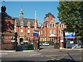
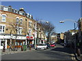
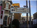
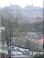
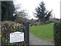
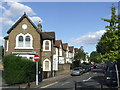
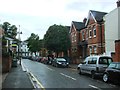
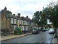
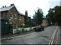
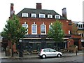
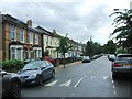
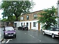
95 photos from this area
Area Information
Key information about the SE22 9DG including its size, population, and administrative classification.
- Area Type
- Postcode
- Area Size
- 9697 m²
- Population
- 1655
- Population Density
- 12538 people/km²
House Prices in SE22 9DG
65
Properties
£676,431
Average Sold Price
£65,000
Lowest Price
£1,350,008
Highest Price
Showing 65 properties
| Address | Type | Beds | Baths | Last Sale Price | Last Sale Date | |
|---|---|---|---|---|---|---|
| 30 Nutfield Road, London, SE22 9DG | Terraced | 4 | 2 | £1,350,008 | May 2024 | |
| 26 Nutfield Road, London, SE22 9DG | Terraced | 4 | 2 | £1,195,000 | Sep 2023 | |
| 18 Nutfield Road, London, SE22 9DG | Terraced | 3 | 1 | £980,000 | Apr 2023 | |
| 45 Nutfield Road, London, SE22 9DG | Terraced | 3 | 1 | £1,050,000 | Sep 2022 | |
| 62 Nutfield Road, London, SE22 9DG | Terraced | 3 | 2 | £740,000 | Mar 2022 | |
| 1 Nutfield Road, London, SE22 9DG | Terraced | 3 | 2 | £950,000 | Jan 2022 | |
| 42 Nutfield Road, London, SE22 9DG | house | - | - | £770,000 | Nov 2021 | |
| 38 Nutfield Road, London, SE22 9DG | Terraced | 2 | 1 | £815,000 | Jun 2021 | |
| 53 Nutfield Road, London, SE22 9DG | Terraced | 3 | 1 | £865,000 | Jun 2021 | |
| 4 Nutfield Road, London, SE22 9DG | house | - | - | £1,160,000 | Jan 2021 |
Page 1 of 7
Energy Efficiency in SE22 9DG
Amenities
Schools
| Rank | School | Type | Entry gender | Ages |
|---|
Explore more schools in this area
Go to Schools tabDemographics
Household Size
Family (3-5 people)
most common
Accommodation Type
Houses
most common
Tenure
54
majority
Ethnic Group
White
most common
Religion
N/A
most common
Household Composition
N/A
most common
Age
47
median
Adults (30-64 years)
most common
Household Deprivation
N/A
with no deprivation
NS-SEC
58
in Lower managerial occupations
Explore more demographic insights in this area
Go to Demographics tabPlanning
Planning Constraints
- Flood RiskPremium
- Ramsar Wetland SitesPremium
- Area of Outstanding Natural BeautyPremium
- Protected Nature ReservePremium
- Protected WoodlandPremium