Area Overview for SE22 9BH
Photos of SE22 9BH
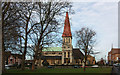
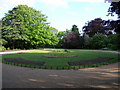
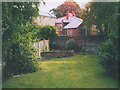
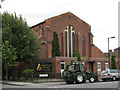
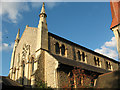
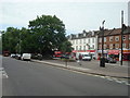
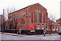
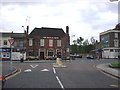
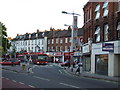
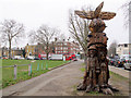
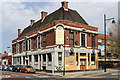
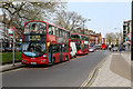
100 photos from this area
Area Information
Key information about the SE22 9BH including its size, population, and administrative classification.
- Area Type
- Postcode
- Area Size
- 6872 m²
- Population
- 2115
- Population Density
- 13942 people/km²
House Prices in SE22 9BH
36
Properties
£785,413
Average Sold Price
£77,000
Lowest Price
£1,300,000
Highest Price
Showing 36 properties
| Address | Type | Beds | Baths | Last Sale Price | Last Sale Date | |
|---|---|---|---|---|---|---|
| 6 Kelmore Grove, London, SE22 9BH | house | - | - | £1,212,000 | Jun 2020 | |
| 12 Kelmore Grove, London, SE22 9BH | Detached | 4 | 2 | £1,200,000 | Jul 2019 | |
| 26 Kelmore Grove, London, SE22 9BH | house | - | - | £1,140,000 | May 2019 | |
| 13 Kelmore Grove, London, SE22 9BH | house | 4 | 2 | £1,145,000 | Feb 2019 | |
| 23 Kelmore Grove, London, SE22 9BH | Semi-detached | 4 | 2 | £1,300,000 | Jul 2016 | |
| 4 Kelmore Grove, London, SE22 9BH | Terraced | 4 | 2 | £970,000 | Jan 2016 | |
| 21 Kelmore Grove, London, SE22 9BH | Semi-detached | 4 | 2 | £910,000 | Jan 2014 | |
| 18 Kelmore Grove, London, SE22 9BH | house | 4 | 3 | £888,000 | Oct 2013 | |
| 10 Kelmore Grove, London, SE22 9BH | house | 4 | - | £800,000 | Aug 2012 | |
| 25 Kelmore Grove, London, SE22 9BH | Semi-detached | - | - | £679,950 | May 2007 |
Page 1 of 4
Energy Efficiency in SE22 9BH
Amenities
Schools
| Rank | School | Type | Entry gender | Ages |
|---|
Explore more schools in this area
Go to Schools tabDemographics
Household Size
Two person
most common
Accommodation Type
Flats
most common
Tenure
39
majority
Ethnic Group
White
most common
Religion
N/A
most common
Household Composition
N/A
most common
Age
47
median
Adults (30-64 years)
most common
Household Deprivation
N/A
with no deprivation
NS-SEC
64
in Lower managerial occupations
Explore more demographic insights in this area
Go to Demographics tabPlanning
Planning Constraints
- Flood RiskPremium
- Ramsar Wetland SitesPremium
- Area of Outstanding Natural BeautyPremium
- Protected Nature ReservePremium
- Protected WoodlandPremium