Area Overview for SE22 9QD
Photos of SE22 9QD
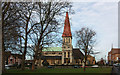
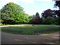
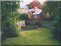

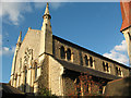
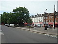
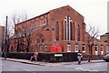
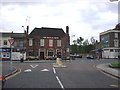
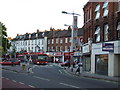
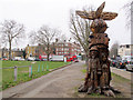
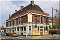
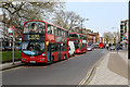
100 photos from this area
Area Information
Key information about the SE22 9QD including its size, population, and administrative classification.
- Area Type
- Postcode
- Area Size
- 1.0 hectares
- Population
- 2115
- Population Density
- 13942 people/km²
House Prices in SE22 9QD
48
Properties
£810,944
Average Sold Price
£275,000
Lowest Price
£1,355,000
Highest Price
Showing 48 properties
| Address | Type | Beds | Baths | Last Sale Price | Last Sale Date | |
|---|---|---|---|---|---|---|
| St Kilda, The Gardens, London, SE22 9QD | Terraced | 5 | 2 | £892,500 | Nov 2018 | |
| Llandaff, The Gardens, London, SE22 9QD | house | - | - | £1,115,000 | May 2017 | |
| 6 The Gardens, London, SE22 9QD | house | - | - | £1,355,000 | Oct 2015 | |
| 5 The Gardens, London, SE22 9QD | house | - | 1 | £1,200,000 | Oct 2014 | |
| 8 The Gardens, London, SE22 9QD | house | - | - | £999,995 | Aug 2013 | |
| Kismet, The Gardens, London, SE22 9QD | house | 3 | - | £421,000 | Jul 2009 | |
| Swanage, The Gardens, London, SE22 9QD | Terraced | - | - | £520,000 | Apr 2008 | |
| 10 The Gardens, London, SE22 9QD | Flat | 2 | 1 | £520,000 | Jan 2006 | |
| 2B The Gardens, London, SE22 9QD | Flat | 4 | 2 | £275,000 | Jul 2002 | |
| Flat 2, 17 The Gardens, London, SE22 9QD | Flat | 2 | 1 | - | - |
Page 1 of 5
Energy Efficiency in SE22 9QD
Amenities
Schools
| Rank | School | Type | Entry gender | Ages |
|---|
Explore more schools in this area
Go to Schools tabDemographics
Household Size
Two person
most common
Accommodation Type
Flats
most common
Tenure
39
majority
Ethnic Group
White
most common
Religion
N/A
most common
Household Composition
N/A
most common
Age
47
median
Adults (30-64 years)
most common
Household Deprivation
N/A
with no deprivation
NS-SEC
64
in Lower managerial occupations
Explore more demographic insights in this area
Go to Demographics tabPlanning
Planning Constraints
- Flood RiskPremium
- Ramsar Wetland SitesPremium
- Area of Outstanding Natural BeautyPremium
- Protected Nature ReservePremium
- Protected WoodlandPremium