Area Overview for SE22 9BG
Photos of SE22 9BG
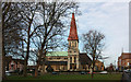
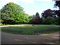
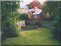
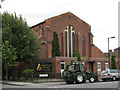
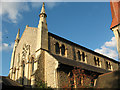
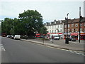
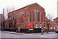
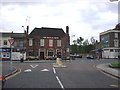
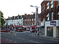
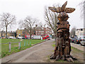
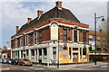
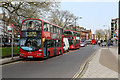
100 photos from this area
Area Information
Key information about the SE22 9BG including its size, population, and administrative classification.
- Area Type
- Postcode
- Area Size
- 9071 m²
- Population
- 2115
- Population Density
- 13942 people/km²
House Prices in SE22 9BG
65
Properties
£467,312
Average Sold Price
£27,000
Lowest Price
£1,201,050
Highest Price
Showing 65 properties
| Address | Type | Beds | Baths | Last Sale Price | Last Sale Date | |
|---|---|---|---|---|---|---|
| 14 Solway Road, London, SE22 9BG | Terraced | 4 | 2 | £983,000 | Jan 2024 | |
| 16 Solway Road, London, SE22 9BG | Terraced | 5 | 2 | £1,201,050 | Oct 2023 | |
| 21 Solway Road, London, SE22 9BG | Terraced | 3 | 1 | £650,000 | Jul 2022 | |
| 30 Solway Road, London, SE22 9BG | Maisonette | 5 | 1 | £27,000 | Oct 2021 | |
| 5 Solway Road, London, SE22 9BG | Terraced | 4 | 3 | £1,060,000 | Jan 2021 | |
| 26 Solway Road, London, SE22 9BG | house | - | - | £777,500 | Jan 2021 | |
| 8A Solway Road, London, SE22 9BG | Flat | 2 | 1 | £272,000 | Oct 2012 | |
| 9 Solway Road, London, SE22 9BG | Terraced | 4 | 2 | £385,000 | Jun 2003 | |
| 15 Solway Road, London, SE22 9BG | Terraced | - | - | £237,500 | May 2002 | |
| 23A Solway Road, London, SE22 9BG | Terraced | - | - | £147,000 | Oct 2000 |
Page 1 of 7
Energy Efficiency in SE22 9BG
Amenities
Schools
| Rank | School | Type | Entry gender | Ages |
|---|
Explore more schools in this area
Go to Schools tabDemographics
Household Size
Two person
most common
Accommodation Type
Flats
most common
Tenure
39
majority
Ethnic Group
White
most common
Religion
N/A
most common
Household Composition
N/A
most common
Age
47
median
Adults (30-64 years)
most common
Household Deprivation
N/A
with no deprivation
NS-SEC
64
in Lower managerial occupations
Explore more demographic insights in this area
Go to Demographics tabPlanning
Planning Constraints
- Flood RiskPremium
- Ramsar Wetland SitesPremium
- Area of Outstanding Natural BeautyPremium
- Protected Nature ReservePremium
- Protected WoodlandPremium