Area Overview for SE12 0ST
Photos of SE12 0ST
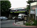
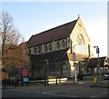
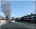
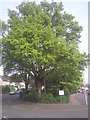
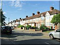
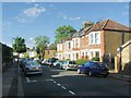
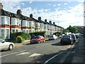
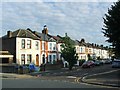
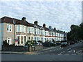
84 photos from this area
Area Information
Key information about the SE12 0ST including its size, population, and administrative classification.
- Area Type
- Postcode
- Area Size
- 5229 m²
- Population
- 1644
- Population Density
- 8266 people/km²
House Prices in SE12 0ST
44
Properties
£190,536
Average Sold Price
£83,000
Lowest Price
£330,000
Highest Price
Showing 44 properties
| Address | Type | Beds | Baths | Last Sale Price | Last Sale Date | |
|---|---|---|---|---|---|---|
| 24 Wildwood Close, London, SE12 0ST | Flat | 2 | 2 | £330,000 | Nov 2024 | |
| 32 Wildwood Close, London, SE12 0ST | Maisonette | - | - | £305,000 | Aug 2021 | |
| 35 Wildwood Close, London, SE12 0ST | Maisonette | - | - | £217,500 | Apr 2021 | |
| 39 Wildwood Close, London, SE12 0ST | Flat | - | - | £245,000 | Aug 2020 | |
| 10 Wildwood Close, London, SE12 0ST | Flat | 2 | 1 | £292,000 | Sep 2019 | |
| 37 Wildwood Close, London, SE12 0ST | Flat | 1 | - | £220,000 | Jan 2017 | |
| 9 Wildwood Close, London, SE12 0ST | Flat | - | - | £159,000 | Oct 2013 | |
| 1 Wildwood Close, London, SE12 0ST | Flat | - | - | £160,000 | Nov 2010 | |
| 30 Wildwood Close, London, SE12 0ST | Flat | - | - | £145,000 | Jan 2007 | |
| 18 Wildwood Close, London, SE12 0ST | Flat | - | - | £132,000 | Jul 2006 |
Page 1 of 5
Energy Efficiency in SE12 0ST
Amenities
Schools
| Rank | School | Type | Entry gender | Ages |
|---|
Explore more schools in this area
Go to Schools tabDemographics
Household Size
Family (3-5 people)
most common
Accommodation Type
Houses
most common
Tenure
50
majority
Ethnic Group
White
most common
Religion
N/A
most common
Household Composition
N/A
most common
Age
47
median
Adults (30-64 years)
most common
Household Deprivation
N/A
with no deprivation
NS-SEC
34
in Lower managerial occupations
Explore more demographic insights in this area
Go to Demographics tabPlanning
Planning Constraints
- Flood RiskPremium
- Ramsar Wetland SitesPremium
- Area of Outstanding Natural BeautyPremium
- Protected Nature ReservePremium
- Protected WoodlandPremium