Area Overview for SE10 0EF
Photos of SE10 0EF
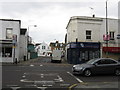
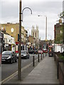
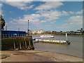
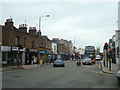
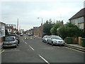
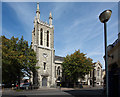
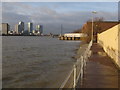
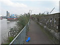
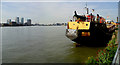
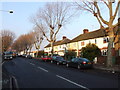
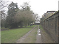
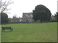
100 photos from this area
Area Information
Key information about the SE10 0EF including its size, population, and administrative classification.
- Area Type
- Postcode
- Area Size
- 6794 m²
- Population
- 1525
- Population Density
- 14160 people/km²
House Prices in SE10 0EF
51
Properties
£491,311
Average Sold Price
£186,500
Lowest Price
£800,000
Highest Price
Showing 51 properties
| Address | Type | Beds | Baths | Last Sale Price | Last Sale Date | |
|---|---|---|---|---|---|---|
| 46 Azof Street, Greenwich, SE10 0EF | house | 3 | 2 | £720,000 | Jun 2025 | |
| 78 Azof Street, Greenwich, SE10 0EF | Flat | - | - | £350,000 | Jan 2025 | |
| 34 Azof Street, Greenwich, SE10 0EF | house | 2 | 1 | £550,000 | Mar 2023 | |
| 62 Azof Street, Greenwich, SE10 0EF | Retail | 3 | 1 | £790,000 | Sep 2022 | |
| 56 Azof Street, Greenwich, SE10 0EF | house | 3 | 1 | £800,000 | Aug 2022 | |
| 26 Azof Street, Greenwich, SE10 0EF | Terraced | 2 | 1 | £715,000 | Jul 2022 | |
| 30 Azof Street, Greenwich, SE10 0EF | Terraced | 2 | 1 | £605,000 | Nov 2021 | |
| 2 Azof Street, Greenwich, SE10 0EF | Terraced | 2 | 1 | £530,000 | Mar 2021 | |
| 42 Azof Street, Greenwich, SE10 0EF | house | - | - | £740,000 | Oct 2020 | |
| 22 Azof Street, Greenwich, SE10 0EF | Terraced | 3 | 2 | £500,000 | Aug 2020 |
Page 1 of 6
Energy Efficiency in SE10 0EF
Amenities
Schools
| Rank | School | Type | Entry gender | Ages |
|---|
Explore more schools in this area
Go to Schools tabDemographics
Household Size
Two person
most common
Accommodation Type
Flats
most common
Tenure
53
majority
Ethnic Group
White
most common
Religion
N/A
most common
Household Composition
N/A
most common
Age
47
median
Adults (30-64 years)
most common
Household Deprivation
N/A
with no deprivation
NS-SEC
62
in Lower managerial occupations
Explore more demographic insights in this area
Go to Demographics tabPlanning
Planning Constraints
- Flood RiskPremium
- Ramsar Wetland SitesPremium
- Area of Outstanding Natural BeautyPremium
- Protected Nature ReservePremium
- Protected WoodlandPremium