Area Overview for RM9 4JL
Photos of RM9 4JL
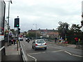
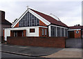
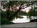
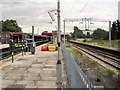
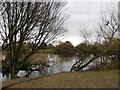
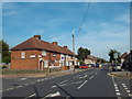
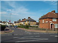
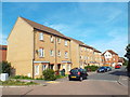
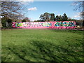
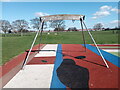
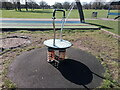
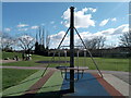
64 photos from this area
Area Information
Key information about the RM9 4JL including its size, population, and administrative classification.
- Area Type
- Postcode
- Area Size
- 6527 m²
- Population
- 1550
- Population Density
- 10494 people/km²
House Prices in RM9 4JL
29
Properties
£192,321
Average Sold Price
£87,500
Lowest Price
£370,000
Highest Price
Showing 29 properties
| Address | Type | Beds | Baths | Last Sale Price | Last Sale Date | |
|---|---|---|---|---|---|---|
| 72 Flamstead Road, Dagenham, RM9 4JL | house | - | - | £345,000 | Feb 2021 | |
| 80 Flamstead Road, Dagenham, RM9 4JL | Terraced | 3 | 1 | £370,000 | Sep 2020 | |
| 76 Flamstead Road, Dagenham, RM9 4JL | Terraced | 3 | 1 | £320,000 | Oct 2018 | |
| 92 Flamstead Road, Dagenham, RM9 4JL | Terraced | 2 | - | £210,000 | May 2014 | |
| 68 Flamstead Road, Dagenham, RM9 4JL | house | 3 | - | £182,000 | Dec 2010 | |
| 60 Flamstead Road, Dagenham, RM9 4JL | Terraced | 3 | 1 | £200,000 | May 2008 | |
| 104 Flamstead Road, Dagenham, RM9 4JL | Terraced | 3 | 2 | £200,000 | Jun 2007 | |
| 74 Flamstead Road, Dagenham, RM9 4JL | house | - | - | £158,000 | Sep 2006 | |
| 66 Flamstead Road, Dagenham, RM9 4JL | house | - | - | £175,000 | Apr 2006 | |
| 64 Flamstead Road, Dagenham, RM9 4JL | Terraced | - | - | £148,000 | Aug 2003 |
Page 1 of 3
Energy Efficiency in RM9 4JL
Amenities
Schools
| Rank | School | Type | Entry gender | Ages |
|---|
Explore more schools in this area
Go to Schools tabDemographics
Household Size
Family (3-5 people)
most common
Accommodation Type
Houses
most common
Tenure
39
majority
Ethnic Group
White
most common
Religion
N/A
most common
Household Composition
N/A
most common
Age
47
median
Adults (30-64 years)
most common
Household Deprivation
N/A
with no deprivation
NS-SEC
18
in Lower managerial occupations
Explore more demographic insights in this area
Go to Demographics tabPlanning
Planning Constraints
- Flood RiskPremium
- Ramsar Wetland SitesPremium
- Area of Outstanding Natural BeautyPremium
- Protected Nature ReservePremium
- Protected WoodlandPremium