Area Overview for RM9 4EU
Photos of RM9 4EU
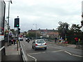
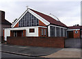
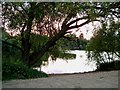
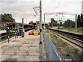
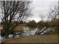
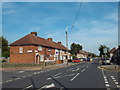
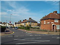
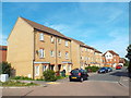
64 photos from this area
Area Information
Key information about the RM9 4EU including its size, population, and administrative classification.
- Area Type
- Postcode
- Area Size
- 1.1 hectares
- Population
- 1550
- Population Density
- 10494 people/km²
House Prices in RM9 4EU
42
Properties
£231,325
Average Sold Price
£50,000
Lowest Price
£450,000
Highest Price
Showing 42 properties
| Address | Type | Beds | Baths | Last Sale Price | Last Sale Date | |
|---|---|---|---|---|---|---|
| 78 Stamford Road, Dagenham, RM9 4EU | Terraced | 5 | 3 | £450,000 | May 2024 | |
| 119 Stamford Road, Dagenham, RM9 4EU | Terraced | 2 | 1 | £375,000 | Mar 2023 | |
| 115 Stamford Road, Dagenham, RM9 4EU | house | - | - | £400,000 | Feb 2023 | |
| 108 Stamford Road, Dagenham, RM9 4EU | house | - | - | £280,000 | Feb 2021 | |
| 103 Stamford Road, Dagenham, RM9 4EU | house | - | - | £329,000 | Dec 2020 | |
| 98 Stamford Road, Dagenham, RM9 4EU | house | - | - | £260,000 | Mar 2020 | |
| 101 Stamford Road, Dagenham, RM9 4EU | Terraced | 2 | 1 | £295,000 | Mar 2018 | |
| 91 Stamford Road, Dagenham, RM9 4EU | Semi-detached | 3 | 1 | £300,000 | Mar 2016 | |
| 96 Stamford Road, Dagenham, RM9 4EU | Terraced | 3 | 1 | £255,000 | Jun 2015 | |
| 123 Stamford Road, Dagenham, RM9 4EU | Terraced | 4 | 1 | £187,000 | Nov 2013 |
Page 1 of 5
Energy Efficiency in RM9 4EU
Amenities
Schools
| Rank | School | Type | Entry gender | Ages |
|---|
Explore more schools in this area
Go to Schools tabDemographics
Household Size
Family (3-5 people)
most common
Accommodation Type
Houses
most common
Tenure
39
majority
Ethnic Group
White
most common
Religion
N/A
most common
Household Composition
N/A
most common
Age
47
median
Adults (30-64 years)
most common
Household Deprivation
N/A
with no deprivation
NS-SEC
18
in Lower managerial occupations
Explore more demographic insights in this area
Go to Demographics tabPlanning
Planning Constraints
- Flood RiskPremium
- Ramsar Wetland SitesPremium
- Area of Outstanding Natural BeautyPremium
- Protected Nature ReservePremium
- Protected WoodlandPremium