Area Overview for RM12 6NJ
Photos of RM12 6NJ
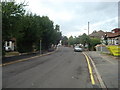
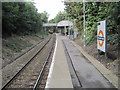
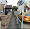
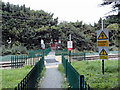
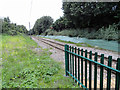
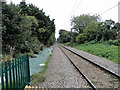
54 photos from this area
Area Information
Key information about the RM12 6NJ including its size, population, and administrative classification.
- Area Type
- Postcode
- Area Size
- 4783 m²
- Population
- 1981
- Population Density
- 5454 people/km²
House Prices in RM12 6NJ
24
Properties
£364,200
Average Sold Price
£216,000
Lowest Price
£485,000
Highest Price
Showing 24 properties
| Address | Type | Beds | Baths | Last Sale Price | Last Sale Date | |
|---|---|---|---|---|---|---|
| Flat, 30 Station Lane, Hornchurch, RM12 6NJ | Flat | - | - | £390,000 | May 2024 | |
| 28A Station Lane, Hornchurch, RM12 6NJ | Maisonette | 2 | 1 | £310,000 | Jun 2021 | |
| 6A Station Lane, Hornchurch, RM12 6NJ | Maisonette | - | - | £420,000 | Apr 2015 | |
| 26A Station Lane, Hornchurch, RM12 6NJ | Flat | - | - | £485,000 | Apr 2008 | |
| 8A Station Lane, Hornchurch, RM12 6NJ | Flat | - | - | £216,000 | Oct 1998 | |
| 32A Station Lane, Hornchurch, RM12 6NJ | Flat | 4 | 2 | - | - | |
| 18C Station Lane, Hornchurch, RM12 6NJ | Flat | 2 | - | - | - | |
| Tfk Carpentry Ltd, First Floor, 24A Station Lane, Hornchurch, RM12 6NJ | Office | - | - | - | - | |
| 22A Station Lane, Hornchurch, RM12 6NJ | Flat | - | - | - | - | |
| 12A Station Lane, Hornchurch, RM12 6NJ | Maisonette | - | - | - | - |
Page 1 of 3
Energy Efficiency in RM12 6NJ
Amenities
Schools
| Rank | School | Type | Entry gender | Ages |
|---|
Explore more schools in this area
Go to Schools tabDemographics
Household Size
One person
most common
Accommodation Type
Flats
most common
Tenure
49
majority
Ethnic Group
White
most common
Religion
N/A
most common
Household Composition
N/A
most common
Age
47
median
Adults (30-64 years)
most common
Household Deprivation
N/A
with no deprivation
NS-SEC
30
in Lower managerial occupations
Explore more demographic insights in this area
Go to Demographics tabPlanning
Planning Constraints
- Flood RiskPremium
- Ramsar Wetland SitesPremium
- Area of Outstanding Natural BeautyPremium
- Protected Nature ReservePremium
- Protected WoodlandPremium